Hills, Hikes and Heavenly Views

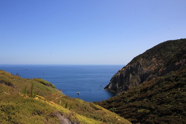
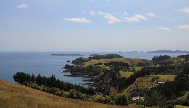
After leaving the Bay of Islands we made our way slowly southwards towards Whangarei.  There are some wonderful anchorages on the way to take advantage of, our first stop was Deep Water Cove close to Cape Brett at the entrance to the Bay of Islands.  This is a small cove in a much larger bay that gets affected by the ocean swell, so most boats try and tuck themselves in as far as they can. And there were plenty trying to do just that.

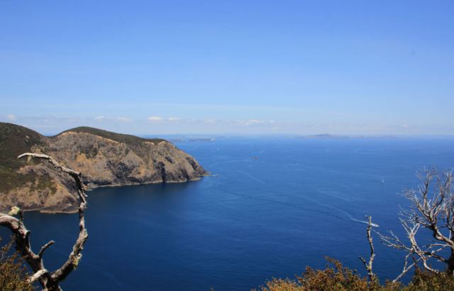
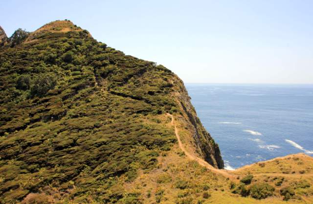
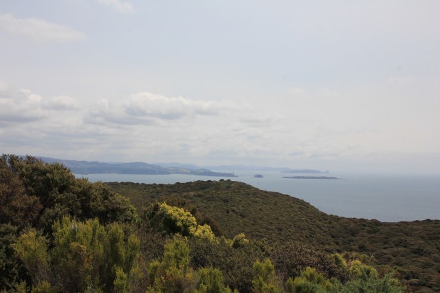
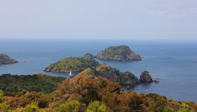
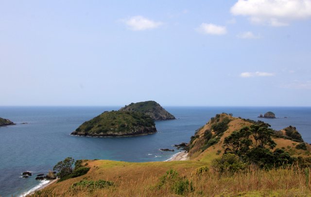
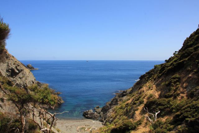
The cove has access to a trail that leads to the lighthouse at Cape Brett, it was a 2.5 hr strenuous hike each way with many steep hills to climb.   The views were amazing but we were pretty worn out when we finally got back to Joy.
IMG_0946

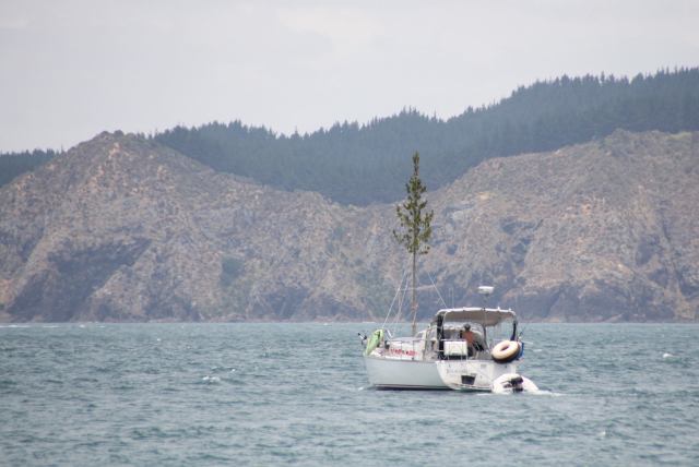
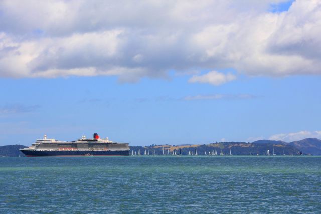
Leaving the Bay of Islands to the cruise ship and sailing regatta
IMG_0989

Hiking Cape Brett

IMG_0996IMG_0997

IMG_1004

Still a long way to go

IMG_0994

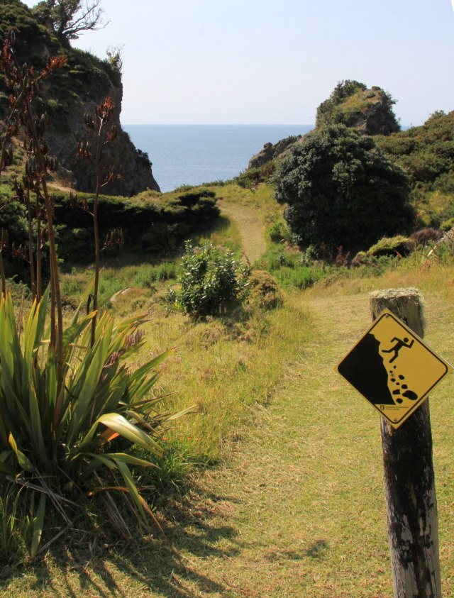
The final part of the trail gets close to the cliff edge
IMG_0998

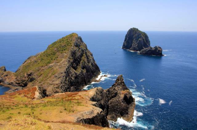
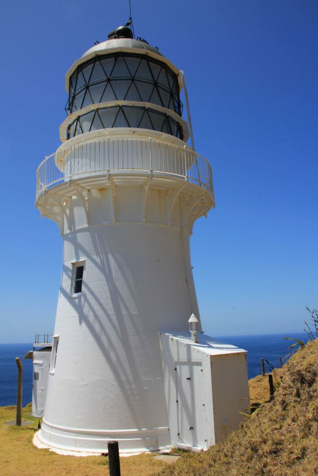
A wonderful view from the Lighthouse towards the ‘Hole in the Rock’
IMG_1001

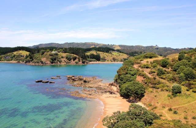
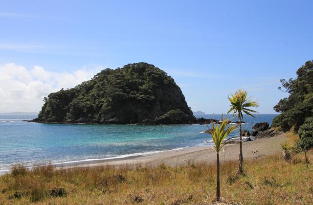
Next stop was the protected harbour at Whangamumu, just a few miles south of Cape Brett.
IMG_1016

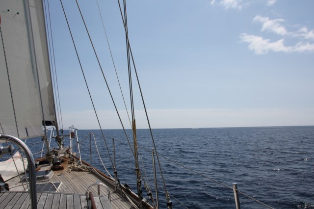
A beautiful flat calm sea as we rounded the Cape
IMG_1041

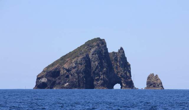
The famous Hole in the Rock

IMG_1033

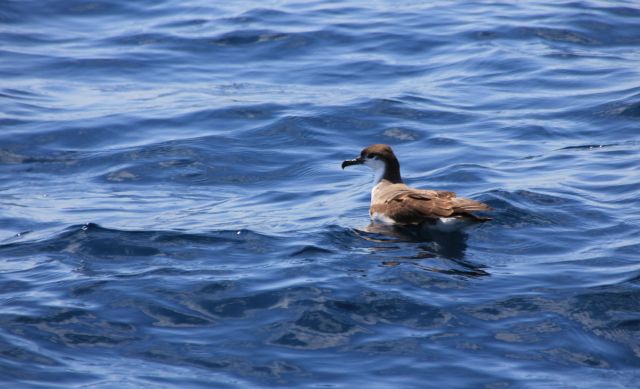
A Shearwater watching us bob past in the light winds

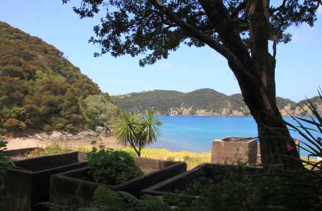
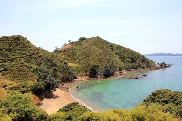
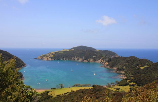
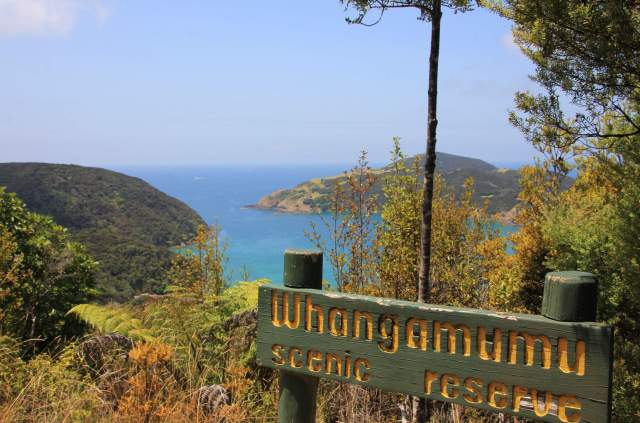
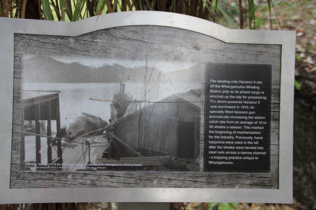
Whangamumu is a large round bay with a narrow entrance, surrounded by beautiful countryside.  There are no dwellings here and no road access, just a walking trail.  This is where the last shore-based whaling station used to be, it’s hard to believe that this stunning and peaceful place has such a bloody history.  Whaling in this harbour started in 1893 by the Cook brothers, when 10 whales was an average seasons catch using wooden row boats to hunt and drive them into the bay where a large net in the narrow entrance trapped them. Whangamumu was apparently the only place in the world that caught whales in nets. In 1910 the station transformed into a processing factory and the purchase of a steam powered boat, the Hananui, substantially increased the catch to 50 a season with its harpoon.  Their largest recorded catch was 74 in the season of 1925. A few remains of the old whaling station still exist on the site, a sad reminder of days gone by.

IMG_1056

IMG_1063

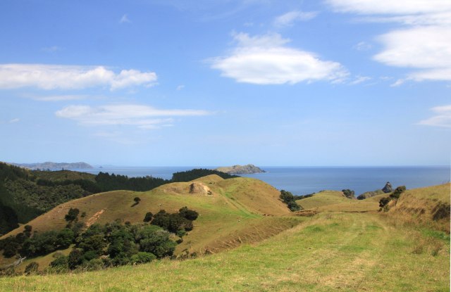
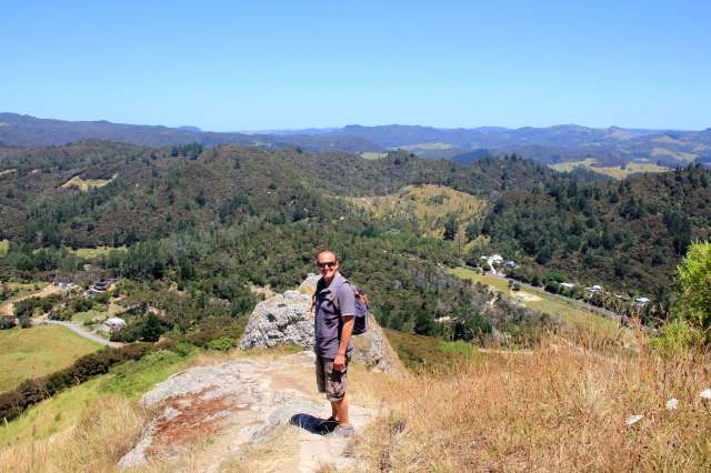
More hills to climb, but what a view!
IMG_1064IMG_1067IMG_1079

IMG_1074

Six large concrete vats were used to cook the meat and bones of the whale
IMG_1077

The decline in the whale oil industry had started in the 1930’s with the depression affecting the market price, but then in 1940 the ocean liner RMS Niagara sank off the coast of Whangarei after hitting a mine laid down by a German Navy vessel. The Niagara was carrying a large amount of heavy oil and the resulting oil slick along the coastline caused the Humpbacks to avoid their usual route. The wreck to this day still holds over 1,000 tonnes of oil which it leaks occasionally as her tanks corrode.

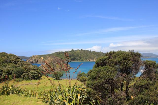
After a few more pleasant day sails and protected anchorages we decided that our last week of exploring before hauling Joy should be spent at Great Barrier Island, about 45 nautical miles offshore.  We arrived late in the day and had Nagle Cove all to ourselves with a beautiful sunset.
IMG_1149

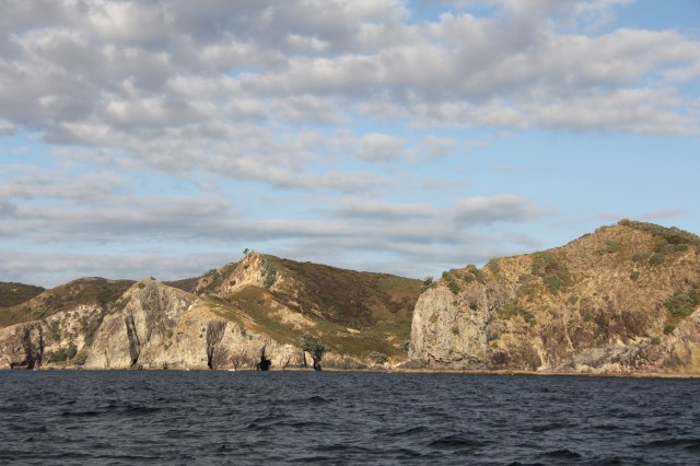
Approaching Great Barrier Island

IMG_1151

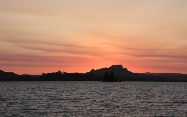
The view from Nagle Cove as the sun goes down

Great Barrier Island is the 6th largest island of New Zealand, an area about 285 square km, with only 900 residents and no mains electricity or water.   Solar panels provide most of the islanders electricity and water is collected from the springs.  With no night time light pollution the milky way and stars shine brightly overhead on a cloudless night.

We fancied hiking to the view point at Maungapiti, so nudged our way into the anchorage at Kiwiriki Bay which is close to the trail.  As we circled to check out the depths I saw a large fish in the water, as it came under our bow and close to the surface I couldn’t believe my eyes.   It was a small hammerhead shark about 3 feet long, he came back and forth towards Joy several times as we found our spot to anchor, so I had a great aerial view of him.  No wonder there wasn’t anyone swimming in the bay.

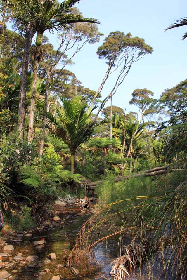
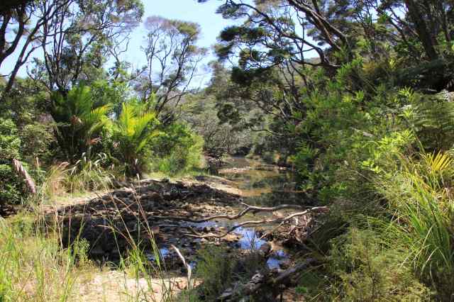
The Department of Conservation manage around 60% of the island, so there are many trails to follow, the Kiwiriki trail to Maungapiti look out was classified as ‘advanced’. We tackled it anyway, yes…even with my knees!
IMG_1212

IMG_1156IMG_1188

IMG_1204

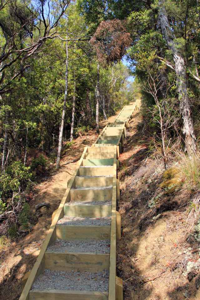
The DOC have done a great job adding steps and pathways to some of the trail, lulling me into a false sense of security

IMG_1206

Kiwiriki Bay

IMG_1209

Shame the DOC hadn’t reached this part of the trail, this was tough on the old knees as it was steep and slippery

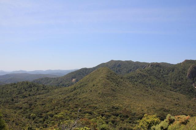
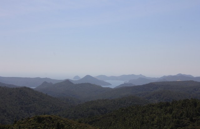
The last part of the trail to the lookout involved some rock climbing, with no aids other than a useful sign warning of serious injury or death if you fall. I needed quite a dose of encouragement to get to the top.  I was pleased I had, as a nice wooden bench awaited us at the peak for a lunch stop with fabulous views across the island.
IMG_1200

IMG_1201

Afternoon haze, looking west towards the protected waterways around Port Fiztroy

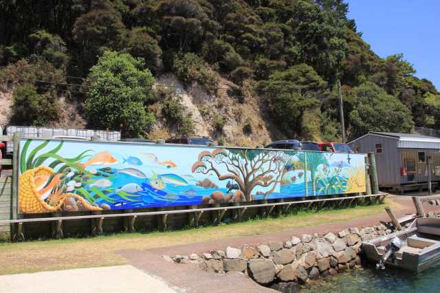
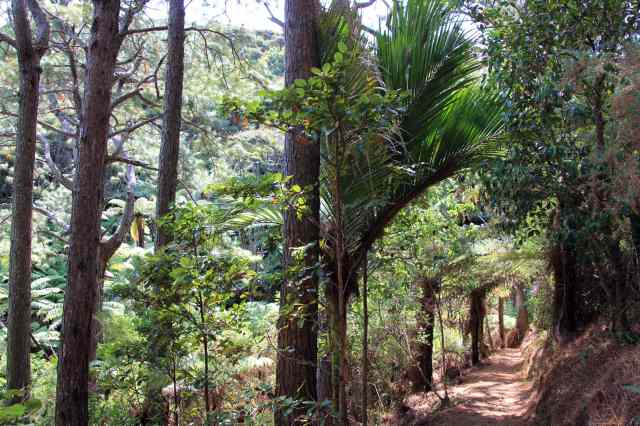
We visited several pretty anchorages within Port Fitzroy, from the ports small dock we had access to more trails through the beautiful countryside.
IMG_1154

Port Fitzroy public wharf

IMG_1221

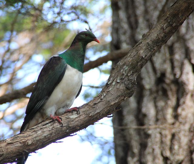
The New Zealand Pigeon, much larger and prettier than ours
IMG_1236IMG_1248IMG_1251IMG_1253

IMG_1261

I thought the middle track had my name on it, but first we had to tackle the Lookout Rock
IMG_1255

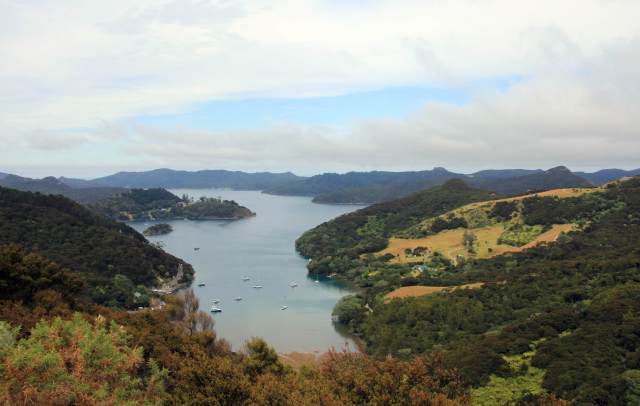
A wonderful view from the Lookout Rock over Port Fitzroy. Just as I reached the peak of the rock I stumbled across a wasps nest and got stung! Running the gauntlet back past the nest and down the rock face was a little comical if not slightly dangerous!
IMG_1272

IMG_1284

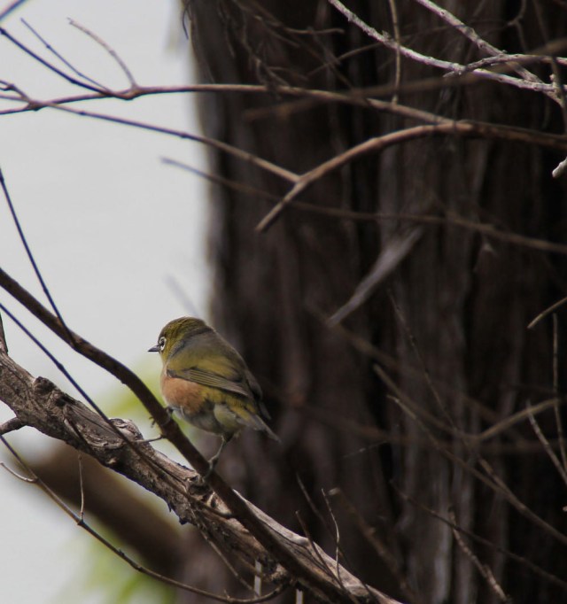
A friendly Silvereye in the Kauri forest
IMG_1287

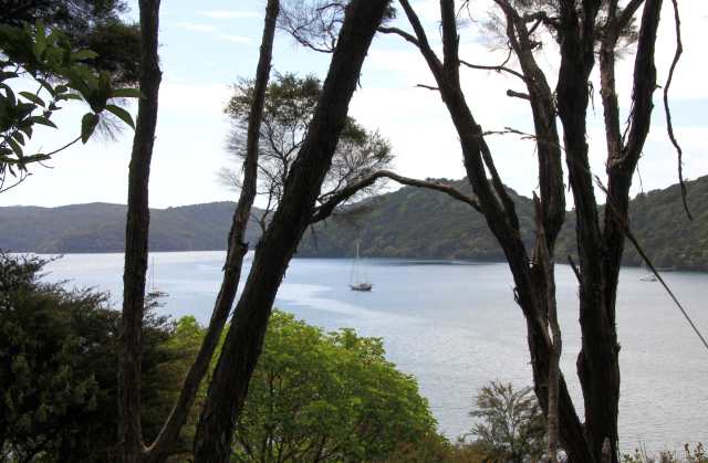
Calm waters in the anchorage

IMG_1289

IMG_1290

IMG_1292

IMG_1296

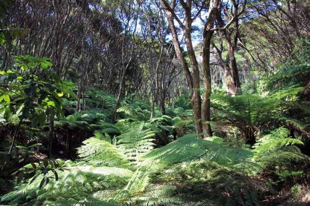
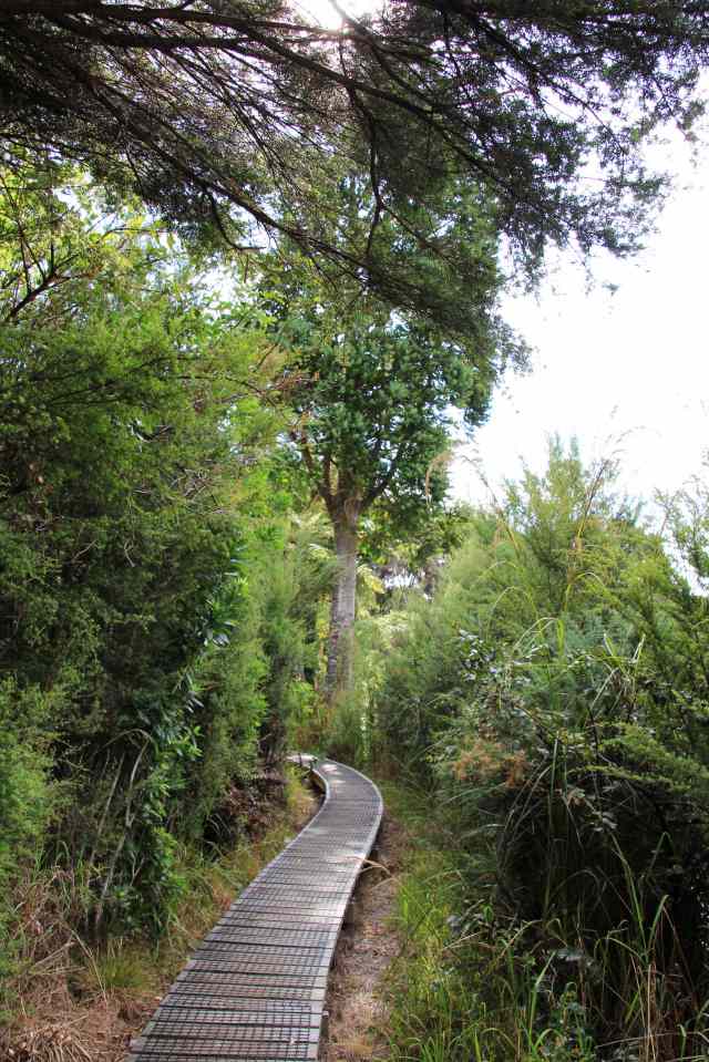
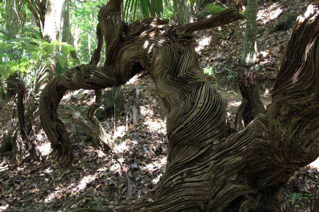
The boardwalk through the forest is to protect the Kauri roots from damage

We have thoroughly enjoyed our stay at Great Barrier Island, it has been one of the highlights of our visit so far, and with our newly acquired ‘advanced hiker’ status it was time to get back down to earth and head back to the mainland and prepare for Joy’s land-time.

With a good south west wind blowing we had a great sail to Whangarei, on the way a humpback whale surfaced a metre away from the boat and then glided past on her back looking up at us.  She surfaced again at the bow and went underneath as we sailed on, then she turned around and came back for another inspection of Joy, slapping her tail on our metal hull before disappearing into the distance.  Another privileged moment to lock away in the overflowing memory treasure chest.


Posted in New Zealand | Tagged , , , | 4 Comments

A Kiwi on Cavalli

On our way south from the beautiful Whangaroa Harbour we stopped at the Cavalli Islands, a group of islands just a couple of miles off the coast. We had wanted to stop here on our way up to Whangaroa from the Bay of Islands but with 25-30 knots blowing from the south west it made for pretty uncomfortable anchoring conditions on these islands.  Now the wind was much lighter but with a trough of low pressure on its way we knew our time here would be limited.  Our chosen anchorage at Waiiti Bay on the south west of the largest uninhabited island, Motukawanui, was already busy with numerous small power boats and a few sail boats. We had chosen this anchorage not only for its protection from a slight north easterly afternoon wind chop, but because it has a trail that leads from the beach to the north of the island which had been recommended to us.

Within a few metres of the start of the trail, we were on our own again. The hustle and bustle of the bay goers thankfully hadn’t extended into the native bush, and we were once again surrounded by bird song and the curious sound of the Chorus Cicada, a native insect that sounds like a noisy cricket.

IMG_0603

Going one step too far with the Christmas decorations?

IMG_0610

IMG_0611

Looking south towards the mainland

IMG_0617

IMG_0621

Views north towards Whangaroa Harbour

IMG_0622

IMG_0656

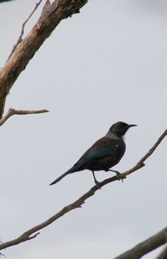
The Department of Conservation maintain the trail and lay bait boxes and traps to catch stoat and possum, both of which have played a large part in reducing native bird numbers including the Kiwi.  We aren’t on alert for signs of Kiwi as they are nocturnal, usually just enjoying the tunes and noisy wing beat of the common Tui overhead as we hike.  As we entered the forested part of the trail the light faded with the thick canopy above us, we were grateful for some shade from the fierce mid afternoon sun.  A small bird flitted across in front of us, as Jez stopped to see what it was I noticed a rustling of leaves on the wooded bank beside us.  Expecting to see the usual culprit, a thrush or blackbird, I couldn’t believe my eyes when I saw a Kiwi! We felt very privileged as we watched for a few minutes as it rummaged around with its long needle-like bill looking for worms and bugs in the undergrowth at 3 in the afternoon, quite oblivious to us on the trail.  I snapped a couple of photos, but with so much undergrowth in the way of the lens I struggled to get focus.  Crouching down, I finally managed to get a shot in focus as he lifted his head, our eyes met for a second before he decided we’d seen enough and he silently waddled off into the forest like a miniature dinosaur.

IMG_0651

I love his long whiskers and fur-like feathers

The rest of the walk, although very beautiful, paled into insignificance in comparison to our rare and wonderful sighting.  As we descended the last ‘down’ to the bay where we had started the trail, we were greeted with an almost empty anchorage with just one other boat next to Joy.  The wind was about to swing to the south west and increase, we were happy to stay put as conditions were still comfortable for Joy, and before long we had the anchorage all to ourselves.

Our sighting prompted me to research this incredible bird.

  • There are five species of Kiwi in New Zealand, the one we saw was the North Island Brown Kiwi
  • Kiwis are part of a flightless group of birds known as ‘Ratites’ and include ostrich, emu and the now extinct native moa
  • The Brown Kiwi will lay one or two eggs in a burrow which are incubated by the male for 75 to 80 days
  • The eggs are huge, around 20% of the females body mass, and are 6 times as big as normal for a bird of its size
  • The Kiwi chick hatches fully feathered and survives its first few days on the egg sac
  • The chick leaves the burrow after about 5 days and searches for food, usually never having been fed by its parents
  • An adult Brown Kiwi is 50-65cm tall, females are larger than males.  The one we saw was much smaller so must have been a juvenile
  • Unusually, they have nostrils on the tip of their beak and have an exceptional sense of smell to help them locate food, but their eyesight is poor
  • Kiwis can live to 65 years old, but the North Island Brown Kiwi’s average age is only 14 years mainly due to dogs. With no breast bone they can easily be crushed by a dogs mouth
  • Two hundred years ago there were 12 million kiwis living in the native forests, by 1998 their numbers had plummeted to under 100,000.  Ten years later their numbers were around 70,000, and today there are about 68,000 left. In unmanaged Kiwi areas their numbers are still declining by 2 to 3 % per year
  • De-forestation and loss of natural habitat have reduced numbers, but their biggest threat is from predators such as stoats, possums and dogs
  • In areas under predatory management, 50-60% of Kiwi chicks survive, in areas with no management system their survival rate is just 5%

With extinction possible in just two generations, there are numerous programs in operation to increase their numbers including a new state of the art incubating facility which can hatch and brood around 150 Kiwi chicks each year. Here they will keep the chicks until around 3 to 4 weeks old before releasing them into predator-free sites.

After our memorable stop in the Cavalli islands we headed back to the Bay of Islands to reprovision and get a few jobs done.  As we sat out some windy weather anchored off of the small town of Paihia, we had a very strange evening where the sky turned sepia yellow and it went dark at just 4pm.  A large cloud of smoke had arrived from the fires in Australia and had completely blocked out the sun, very eery.

IMG_0670

IMG_0671

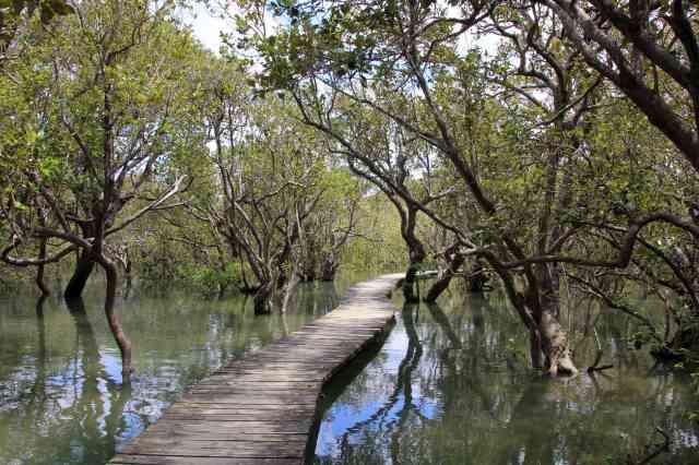
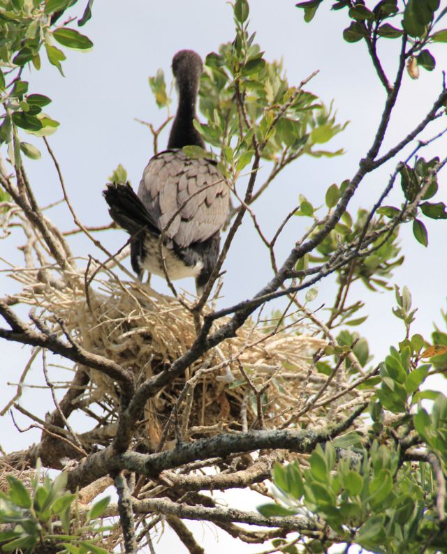
Staying put in the windy weather gave us chance to get out and about and hike some of our favourite trails in the area again.  In particular the Haruru Falls trail which starts near the Waitangi Treaty Grounds and follows the river upstream to the falls. It’s a nice 14 km return walk from Paihia, I like it because it’s less strenuous than the others and it has a nice selection of birds in the forest, and nesting Shags in the trees overhanging the river.

IMG_0823IMG_0825

IMG_0841

I guess this must be the ‘Shaggery’

IMG_0860

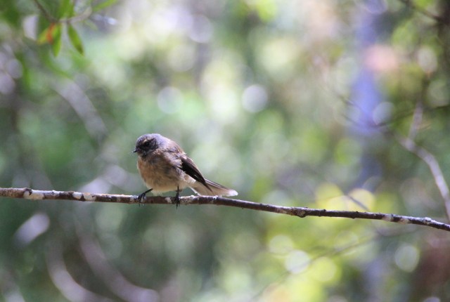
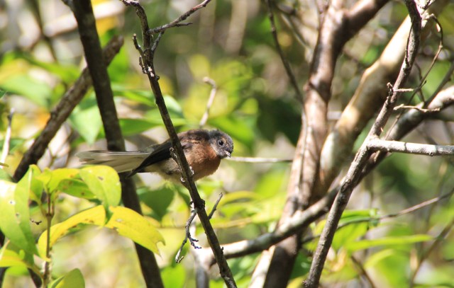
A young Fantail


IMG_0894

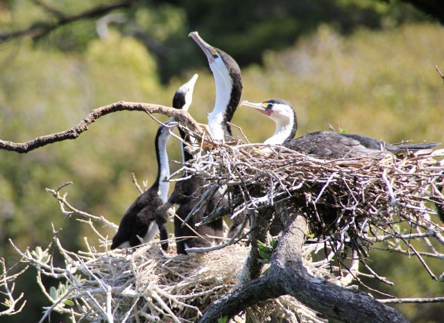
We watched this parent feed the two chicks in the nest, the youngsters head almost disappeared down the adults throat as it regurgitated its fish lunch!

The Park Ranger in this managed Kiwi area clearly has a sense of humour, we found his Stoat traps informative and funny.

This slideshow requires JavaScript.

We also walked a trail from Russell to the Tapeka peninsula (it was so enjoyable we did this twice in a couple of days), the views of the bay from the end of the peninsula were wonderful.

IMG_0685IMG_0686IMG_0687IMG_0688IMG_0692

IMG_0695

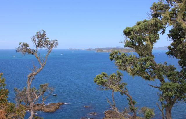
Looking out towards the entrance of the Bay of Islands

IMG_0698

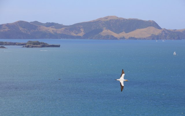
A beautiful Gannet glides gracefully past


IMG_0706

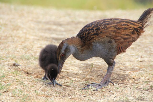
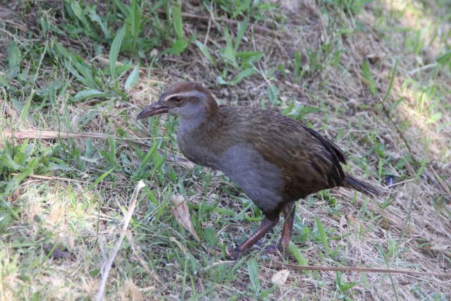
Another flightless bird, a Weka and her baby

IMG_0782

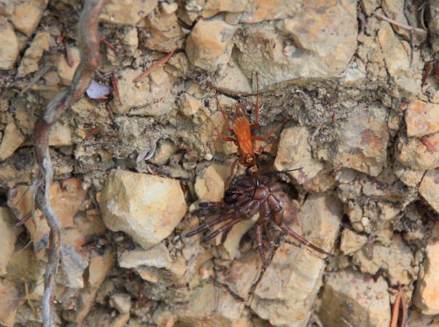
This strange orange bug dragged a spider up the bank, close to the top he dropped it and had to start all over again!

IMG_0796

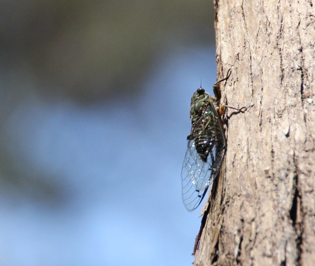
A Chorus Cicada spotted at last – These noisy bugs bring the forests alive with their loud chorus

We also had some great news from our preferred boat yard, Norsand in Whangarei, that they could haul us out of the water in February and keep Joy secure on land while we go back to the UK to top up our penny jar.  For the first time since we have owned Joy we decided to actually visit some boat yards before we made our decision on where to haul, particularly as we will be leaving her for a few months and have a long list of maintenance jobs that need doing when we return.  We had a really good feeling about Norsand, so are very pleased that they have agreed to accommodate us.   We will spend most of March land traveling by car and camper van so are looking forward to a holiday from our holiday!  In the meantime, on our way south to Whangarei we hope to squeeze in a bit more exploring with Joy before her well-earned rest.


Posted in New Zealand | Tagged , , , , | 2 Comments

Ending the Year on a High

Our next stop in the Bay of Islands, New Zealand, was a trip into the Kerikeri inlet as far as our draft allowed.  From the anchorage we could take the dinghy about 3km up the winding inlet to the final navigable point at “The Stone Store”, a grand building which dates back to 1830 and is now a museum and gift shop.

The river dries out at low tide in many places, but there is a buoyed channel to follow where the water is deep enough.  From the landing place at The Stone Store there are a few hiking trails and many waterfalls to see on the way, and it was also just a couple of km walk to the lovely town of Kerikeri, the largest town in Northland. This is a productive area with numerous farm shops selling their produce. Local oranges, potatoes, strawberries and lettuces are in plentiful supply. Our favourite was The Old Packhouse with great produce and a nice cafe.

IMG_0177

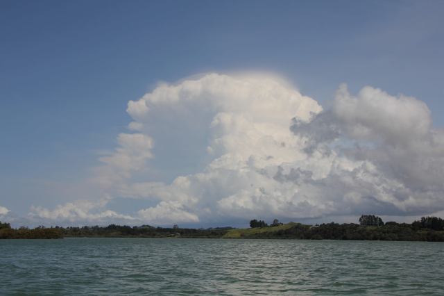
An impressive cloud builds over the riverbank

IMG_0143

IMG_0214

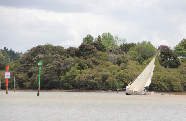
Not everyone keeps to the channel and pays the price, this is the second boat in as many days stranded on the mud banks

IMG_0215

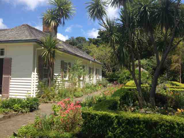
The Mission House was built in 1822 and is New Zealand’s oldest standing building. Primarily built from Kauri wood, it stayed in the Kemp family for 142 years before being gifted to Heritage New Zealand. I loved the beautiful cottage garden and veggie patch.

IMG_0217IMG_0218

IMG_0219

Coq au Vin!

IMG_0216

IMG_0246

The impressive Stone Store, built in 1832.

IMG_0244IMG_0221IMG_0222

IMG_0223

Wharepuke Falls

IMG_0225

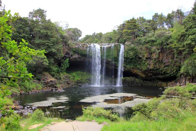
Rainbow Falls

IMG_0231IMG_0233IMG_0238IMG_0240

IMG_0248

Charlies Rock

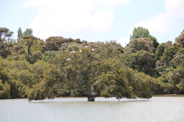
We spent nearly a week in this area, our daily commutes along the river at different states of the tide gave us regular sightings of Harriers circling above and Royal Spoonbills either rummaging in the muddy flats or settling in their tree at high tide.

IMG_0165

Spoonbills and Shags share the same roosting tree

IMG_0196

The Royal Spoonbill is one of six species worldwide and the only Spoonbill that actually breeds in New Zealand. Their numbers rose to around 2300 by 2012 after plummeting to just 57 birds in 1977 as they are apparently sensitive to disturbance.

IMG_0035

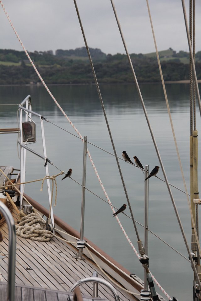
Early morning visitors, at one point I counted a dozen!

IMG_0052

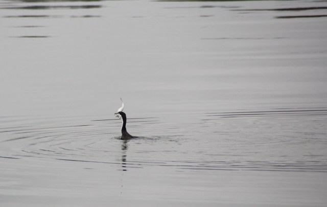
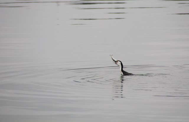
As I was watching the Swallows I caught sight of a Pied Shag surfacing with a large fish!

IMG_0055

He struggled for some time and had several attempts before swallowing it whole

IMG_0063

Gone!

Just outside the inlet is another wonderful stopover at Oihi Bay where there is an interesting walk through Rangihoua heritage park. It’s the site of the first mission settlement and the first Christian service in New Zealand held by Samuel Marsden on Christmas Day 1814.

IMG_0023

The Marsden Cross

IMG_0014IMG_0021

IMG_0027

Smoke from the Australian fires a 1,000 miles away makes our setting sun glow red

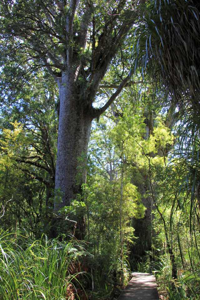
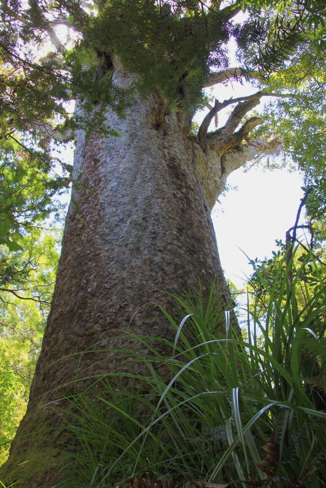
After a few days of waterfalls it was time for a change of pace and scenery, with a car rental to visit the oldest living Kauri trees in New Zealand at the Waipuoa Kauri Forest on the West Coast.
IMG_0276

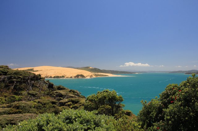
The entrance to Hokianga Harbour on the west coast has impressive sand dunes on its northern shore

IMG_0279IMG_0283IMG_0285

IMG_0288

Tane Mahuta or ‘Lord of the Forest’ is around 2000 years old! It’s difficult to appreciate the scale of him in the photos, he stands at 51.2m tall with a trunk girth of 13.77m!


IMG_0290IMG_0292

IMG_0293

Another large Kauri in the forest

IMG_0300

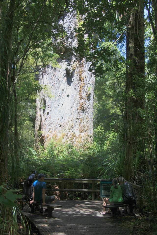
This is Te Matua Ngahere, or Father of the Forest, the second largest living Kauri in New Zealand. At 29.9m tall he is smaller than Tane Mahuta but with an incredible girth of 16.41m he looked huge.

With the wind swinging to the southern quadrant for a week or two we took the opportunity for a cracking beam reach sail out of the Bay of Islands and headed north to Whangaroa.  On the way we stopped at a beautiful narrow cove called Whanaihe Bay so that we could walk the nearby Mahinepua Peninsula hike.

It was lucky that we came across a farmer on our way along a winding track from the cove, as we discovered we were on private land and it wasn’t a hiking trail!  After a chat about farming he very kindly gave us permission to carry on and even gave us directions.

IMG_0343IMG_0357IMG_0358IMG_0359IMG_0361IMG_0366IMG_0368IMG_0371IMG_0372

IMG_0374

The Manihepua trail is one of the most beautiful we have hiked

IMG_0377IMG_0380IMG_0385IMG_0393

IMG_0395

Back on private land

IMG_0397IMG_0398IMG_0402

IMG_0401

Returning back to Joy

IMG_0427

Approaching the narrow entrance to Whangaroa Harbour

IMG_0436

Plenty of beautiful Gannets

IMG_0470

For Christmas dinner this year we thought we would have a nice plump bird on the BBQ

IMG_0447

Word got out we had roast pork left overs

To work off our Christmas dinner we decided to hike to the top of The Dukes Nose rock which stands proud over the anchorage.

IMG_0506

IMG_0496

A steep climb

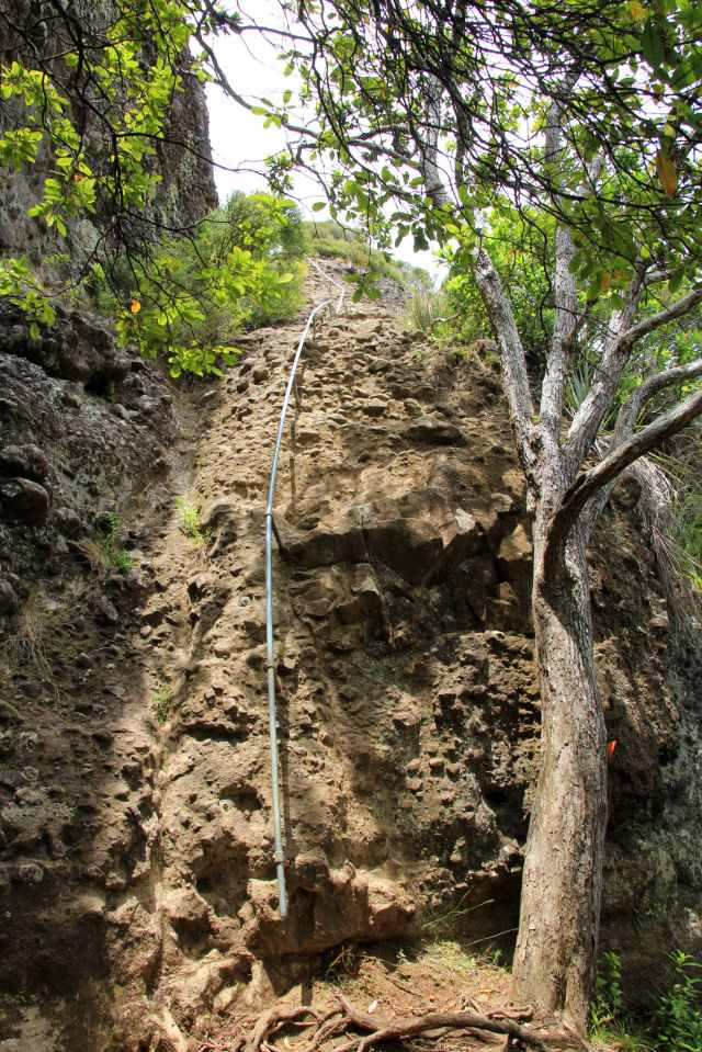
By the time we had almost reached the rock face I had just about talked myself out of getting to the top, I’m not really good with heights and knew I would be way out of my comfort zone.  But by the time we got to the difficult bit there were three young ladies waiting at the bottom, they had decided it was too tough for them.  That immediately spurred me on, so I followed Jez up the rock face clinging on to the pole for dear life. It wasn’t long before one of the girls decided it couldn’t be that bad, after all we were probably twice her age, and followed us up.

IMG_0494

Pole position. The tree puts the height of the first section into perspective

IMG_0483

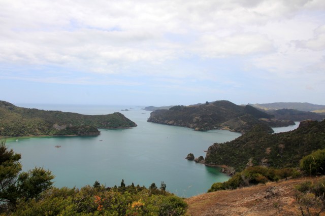
Views from the top, looking over the narrow entrance to Whangaroa Harbour

IMG_0478

Our Christmas anchorage, Joy is far right

Going down was a little scarier as it wasn’t easy to see the footholds and of course it meant looking down. But with Jez guiding my feet as well as his own we got to the bottom safely and I was reminded of several leg muscles I had long forgotten about. To loosen things up we continued on the Stream track for another 2 hour walk until the tide was high enough for us to relaunch the dinghy without dragging it across the mud bank. What a tiring day!
IMG_0586

Most of the trails through woodland have boot cleaning and disinfecting stations to help prevent the spread of Kauri dieback disease.

IMG_0588

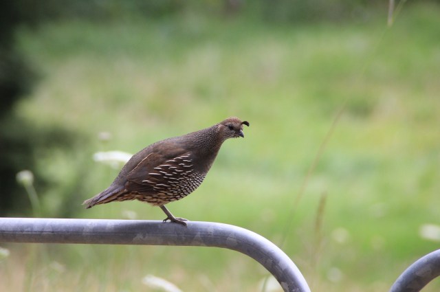
We saw plenty of California Quail with their tiny hatchlings

IMG_0545

IMG_0546

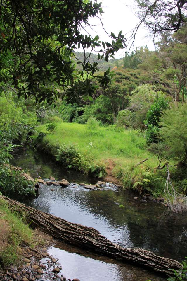
The trail crosses the stream a few times

IMG_0552

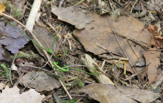
We spotted this wasp attacking a bright green stick insect.

Apparently several species of wasp were accidentally introduced between the 1940’s and 1970’s and they are having a devastating impact on their native birds, bats, lizards and insects. Here they have no natural predators and NZ now has the highest density of wasps in the world.  They consume half of the honeydew found in beech forests, an important source of food for many birds including Tui and Bellbirds, as well as lizards and insects. But their threat doesn’t end there, when the wasps are done with the honeydew they turn their attention to insects for a source of protein and have even been known to kill and eat fledgling birds and bats.

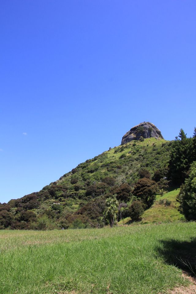
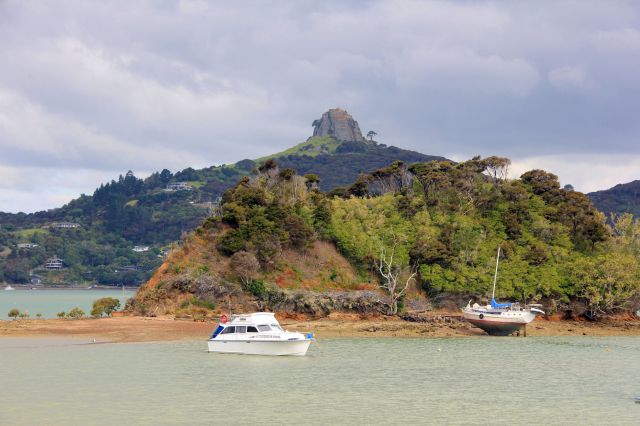
The dramatic rock formations around Whangaroa harbour are remnants of ancient volcanoes that erupted 20 million years ago. So for our final ‘high’ of the year we anchored off Whangaroa marina to hike to the top of St Paul’s Rock, named in the 19th Century as it resembled the dome of St Paul’s Cathedral.

IMG_0599

St Paul’s Rock seen from the north side of the harbour

IMG_0511

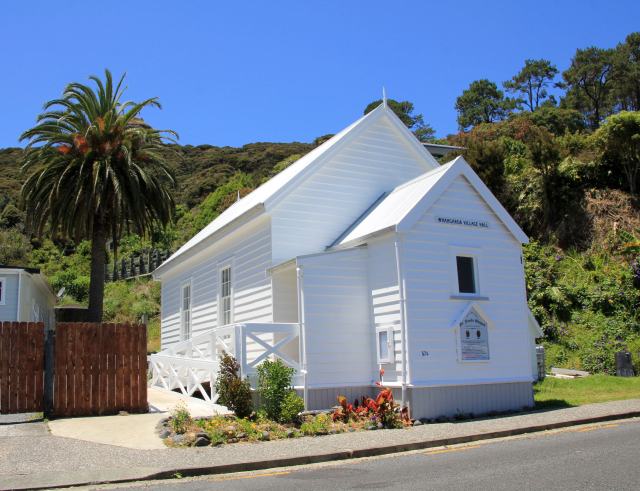
The tiny village hall was originally built as a chapel

IMG_0532

It’s so sheltered in the harbour that there are bananas growing

IMG_0534IMG_0535IMG_0536IMG_0537IMG_0540IMG_0541

The trail to St. Paul’s rock was steep and a bit of a scramble in places, with the last short leg of rock work aided by chains. What an amazing view of the bay and another wonderful lunch stop.

IMG_0531

Getting closer to St Paul’s Rock

IMG_0528IMG_0523IMG_0521IMG_0519

IMG_0530

Feeling on top of the world!

IMG_0543

As we look back over another year of long periods at sea and exploring far away places, we feel so lucky to have had such wonderful opportunities and Joy to take great care of us. Wishing you all a very happy and healthy New Year!

Posted in New Zealand, Uncategorized | Tagged , , , , | Leave a comment

Royal Visitors to The Land of the Long White Cloud

November and early December were very changeable months weather-wise, it is still Spring in New Zealand and although we have had some wonderful sunny days at 25 degrees C it can get quite chilly at night when it drops below 20 (that’s a teeth-chattering temp for us tropical softies).  A few blustery storms have come and gone and we have ducked and dived, tucking ourselves into some protected anchorages. The Kiwi’s however are much hardier folk, swimming in the sea regardless of the weather with just swimwear and no wetsuits. We didn’t even do that in Tonga!

With Prince Charles and Camilla visiting Northland, we took the opportunity to join the crowd at the Waitangi Treaty Grounds and welcome them to New Zealand. Afterall it was free entry and although we have been before we rather fancied wandering around the beautiful grounds a second time.

IMG_9665

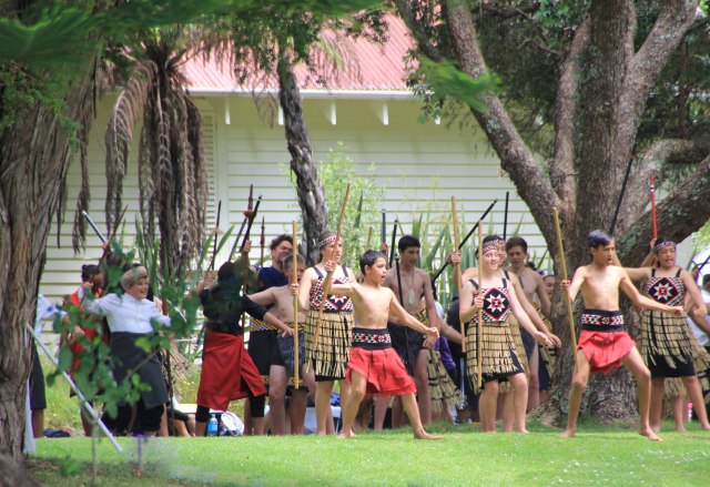
It was great to watch groups of local kids practicing their tribal dances before the Prince arrived

IMG_9690IMG_9685

IMG_9702

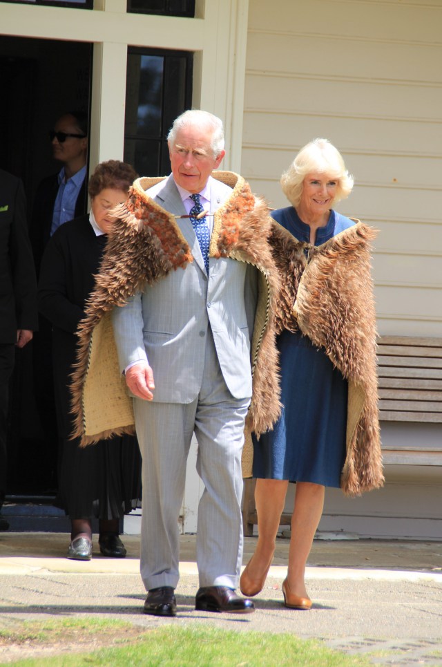
The cloak worn by Prince Charles was a gift to Queen Victoria from Chief Reihana Taukawau during a visit to England in 1863.  It has now been loaned back to New Zealand for display in the museum.

 With so many trails to hike, we have been out walking most days and quite often all day. Our longest trail so far was the 21km coastal loop from Russell to Paihia which involved two ferry rides. We left the boat anchored off Paihia and caught the ferry to Russell, then joined the trail which goes through ancient forests and across boardwalks in the mangrove swamps ending up at the Okiato car ferry.   Here the ferry took us the short distance across the bay to Opua, where we joined the 12km coastal trail back to Paihia.

IMG_9778

This huge fig tree on The Strand at Russell was planted in 1870 and stands outside the town’s first police station.

IMG_9907

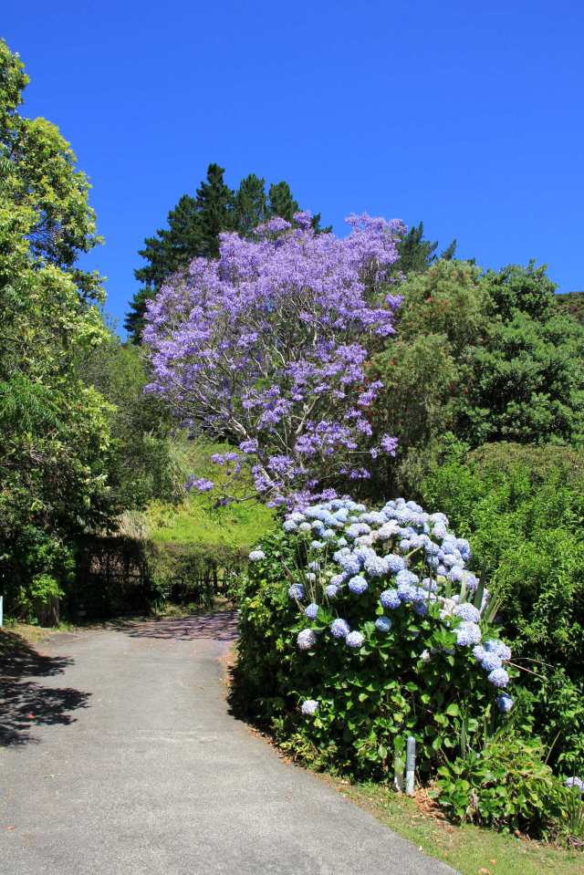
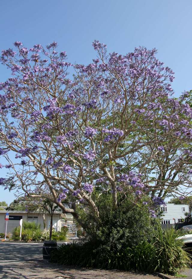
A Town in Bloom – Russell’s high street is lined with these beautiful Jacaranda trees

IMG_9911

A ‘living wall’ outside a local restaurant

IMG_9912IMG_9914IMG_9918IMG_9927

IMG_9928

IMG_9742

A view of Russell from Flagstaff Hill

IMG_9771

A friendly flightless bird called a Weka

IMG_9933IMG_9935IMG_9936

IMG_9939

Catching the ferry to Opua

IMG_9942

Opua Marina

IMG_9944IMG_9945IMG_9947

We have also been back out to the islands in the Bay, exploring new anchorages and islands and revisiting the wonderful island of Urupukapuka to walk more of its trails. The looped hikes on this island take you through farmland, woods, across cliffs and along beaches. They even have a bird-watching hide to view an inner lagoon where we spotted some brown teal, also known as Pateke, which are apparently recovering from threat having been reintroduced into predator-free islands such as this one. As we watched the teal a swamp harrier landed on the far side of the lagoon and stomped around in the water before hopping into the long grass.  We think he may have been eating a fish that he’d caught.

IMG_9757

The Tui belongs to the honeyeater family


IMG_9783

Otaio Bay, Urupukapuka Island

IMG_9790

IMG_9794IMG_9800IMG_9802

IMG_9809IMG_9825IMG_9826IMG_9804

IMG_9837

IMG_9833

IMG_9850

This is a friendly North Island Robin, their numbers had declined on the mainland due to deforestation and predators such as stoats and possums. But their numbers are improving here on the islands thanks to ‘Project Island Song’.

IMG_9864

IMG_9883

A rather scruffy Swamp Harrier hunts over our heads

IMG_9901

We also made use of the protection in a small anchorage called Awaawaroa Bay on Moturua Island when a north-westerly set in for a couple of days.  From here we could dinghy to the next bay to get onto the island trail and stretch our legs.

IMG_9949

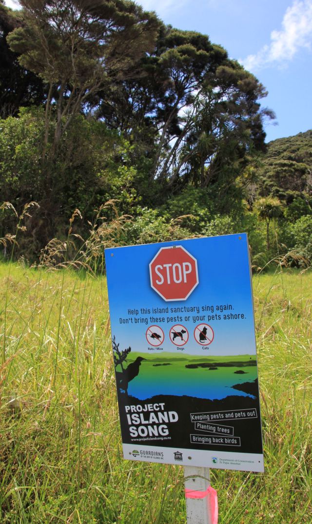
Project Island Song is doing a great job of reintroducing native plants and birds to the islands and eradicating pests such as stoats, rats, mice and plague skink which are small lizards.

IMG_9950

IMG_9953IMG_9954

IMG_9956

A New Zealand Dotterel

IMG_9958IMG_9963

IMG_9969

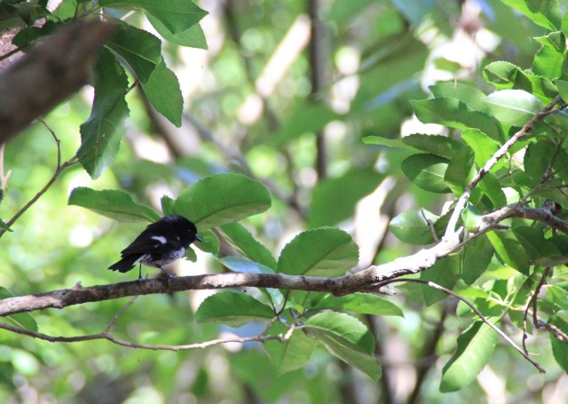
A cute little song bird called a Tomtit flits about in the forest. He seems a little out of proportion, with a large head on a tiny body.
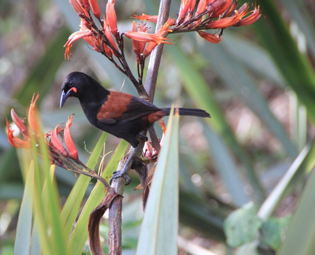
And last but certainly not least, we have spotted this bird on both islands and even watched a parent feed its fledgling on a branch.  But they have been rather shy, and are quick movers, so we haven’t managed to get a photo until now.

IMG_9985

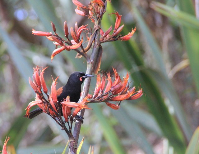
This beautiful North Island Saddleback was quite happy to be photographed, even stopped to pose several times. They are a striking black songbird with fleshy red wattles at the base of the bill and a burnt orange stripe across its back and under its tail.

IMG_9995


We haven’t managed to catch sight of a Kiwi yet (the feathered variety), although they are on many of these islands and in controlled areas on the mainland.  They are a nocturnal bird so I guess we need to stay out a little later next time.

Posted in New Zealand | Tagged , , | 2 Comments

The Bountiful Bay of Islands

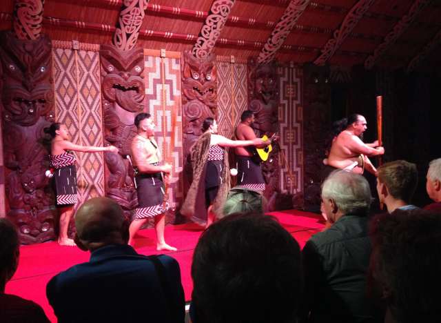
We don’t often spend time in marinas, preferring our space and tranquility at anchor, but it made life a little easier on arrival in New Zealand, we could give our traveling home a much needed hose down after a very salty passage and we didn’t have to inflate our rather tired dinghy to get ashore. It was wonderful to spend the day with our friends Ted and Barbara who are here on holiday, after a trip to the supermarket in the small town of Paihia they took us to the Waitangi Treaty Grounds.  Here, on the 6th February 1840, the treaty was first signed between the British Crown and the Maori following the Declaration of Independence created in 1835. The document was then transported around the country to allow chiefs from other tribes to sign.  After a guided tour we had a lively cultural performance inside the beautifully carved Maori meeting house.


IMG_1651

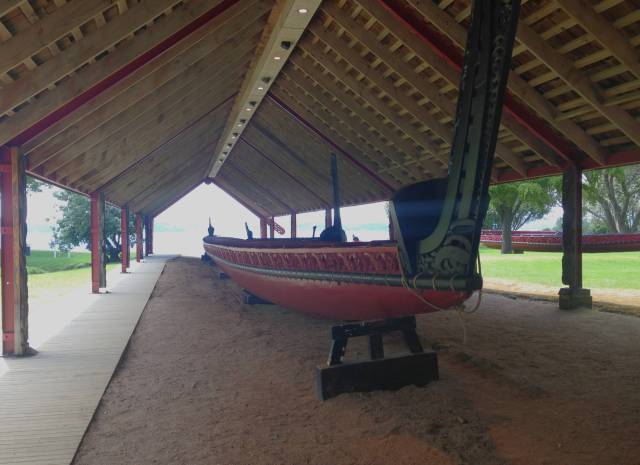
‘Ngatokimatawhaorua’ is one of the largest Maori canoes (or ‘waka’) and 70 years old. At 35 metres long and weighing 12 ton it can hold up to 150 paddlers.  The Maori migrated to New Zealand in seven waka in the mid 1300’s, although the country was then known as Aotearoa “The Land of the Long White Cloud”, named by the great Polynesian navigator Kupe who had discovered the islands 400 years earlier.

IMG_1655IMG_1658

IMG_1671

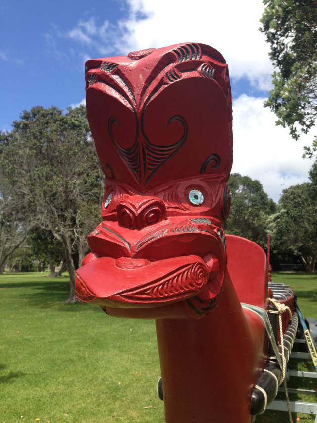
The tongue hanging out depicts an act of defiance

IMG_1672

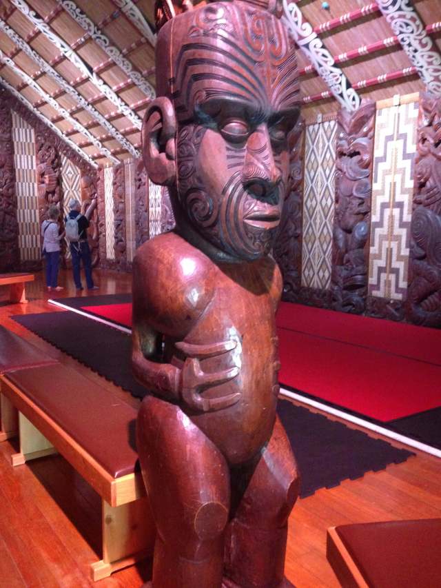
Beautiful carvings inside the Maori meeting house. The meaning of the carving of three fingers varies from tribe to tribe, some believe that the first Maori man had only three fingers and carved all figures keeping that sign. Others say that the sacred rubbing stick to make fire was held with three fingers, and another belief is that it was forbidden to represent the complete human figure hence only three fingers.

IMG_1675

IMG_1685

A lively performance of song and dance, ending with the ceremonial ‘haka’ dance

IMG_1686

One of the performers explains the Maori tradition of tattooing. Facial tatoos – moko kauae – are of particular importance as they regard the face and head as sacred.

IMG_1676

‘The Treaty House’ was built for the first British Resident in New Zealand, James Busby. He lived here with his family from 1833 until 1840, and was involved in the drafting of the treaty.

IMG_1681IMG_1682

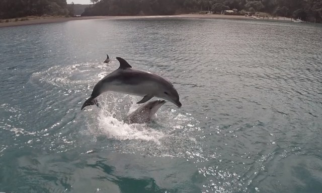
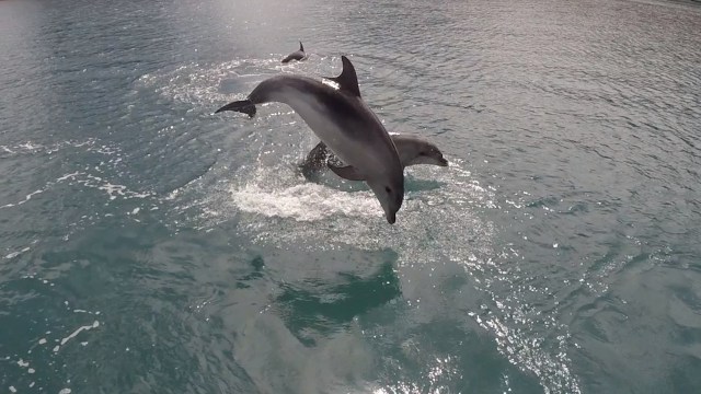
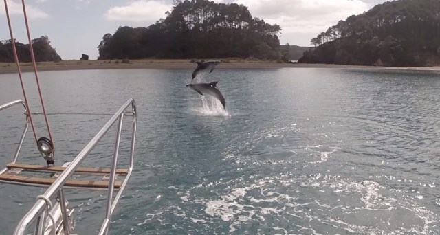
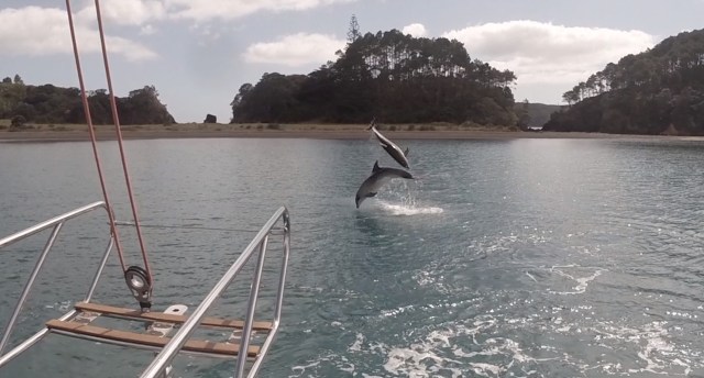
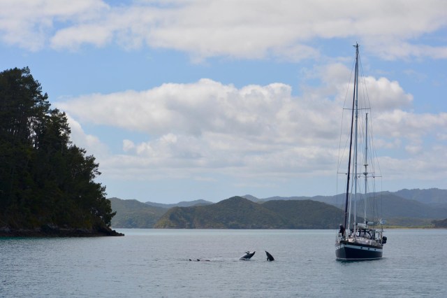
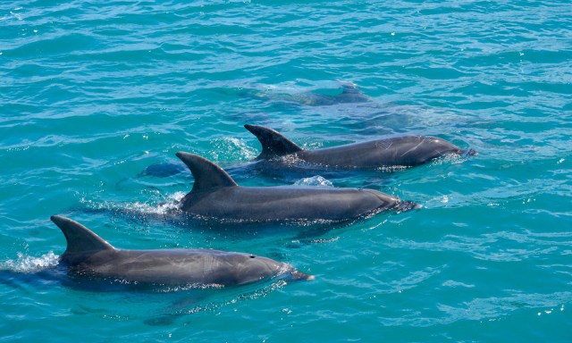
With some less than favourable weather approaching, we decided to head off out into the bay and seek out some protected anchorages and do some exploring.  The Bay of Islands apparently has 144 islands in total so it’s pretty easy to find somewhere protected from any wind direction.  We spent a week exploring just a few of the islands, a personal favourite was Motuarohia (also known as Roberton) Island, as we entered the anchorage a pod of dolphins followed us in and played around us as we anchored.  They performed some impressive acrobatic leaps time and time again, often two dolphin would leap out towards each other almost colliding as they splashed back into the water.  After a fantastic 20 minute ‘front row seats’ show they headed off and visited each boat in the bay in turn. They clearly just loved to show off and have fun with each other.

Dolphins leaping

Dolphins leaping2Double dolphinDouble dolphin2

PHOTO-2019-11-15-10-23-09

Kristen from neighbouring boat ‘O2/3’ very kindly shared her photos of us watching the show!

PHOTO-2019-11-15-10-23-10PHOTO-2019-11-15-10-23-11

IMG_9502

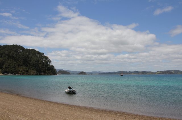
‘Dolphin’ Bay

IMG_9506

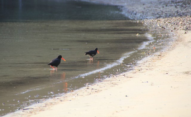
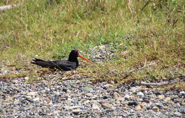
A Variable Oystercatcher sitting on her nest at the high water line. The ‘variable’ refers to the frontal plumage which can be pied, mottled or all black. I prefer the Maori name, Torea-Pango.


IMG_9511

IMG_9519

Looking east from the peak at Motuarohia Island

IMG_9527

A brief glimpse of a Yellowhammer

IMG_9532IMG_9539

IMG_9418

More visitors to Joy at anchor

IMG_9436

A warm welcome from an inquisitive Welcome Swallow, a self-introduced bird thought to have flown here from Australia in the early 1900’s. They were named Welcome Sparrows because they appeared in South Australia as a herald of Spring.

Another excellent stop was Urupukapuka Island, the largest island in the bay. Although the anchorage was a bit rolly, we had access to the network of trails across the island with some wonderful views and plenty of bird life.

IMG_9573IMG_9565


IMG_9554

The Tui bird has a two distinctive white tufts of feathers on its neck and an unusual call with a wide range of tuneful notes and grunts.

IMG_9556IMG_9564IMG_9578IMG_9582IMG_9589

IMG_9593

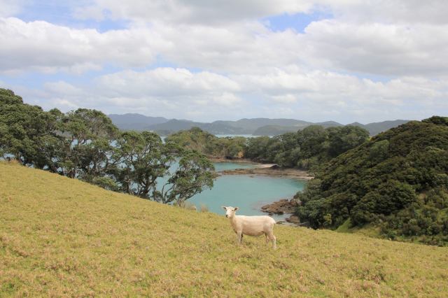
A Ewe with a View

IMG_9602

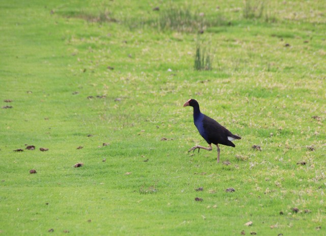
The Pukeko is part of the rail family, we saw quite a few foraging in the paddocks

IMG_9603

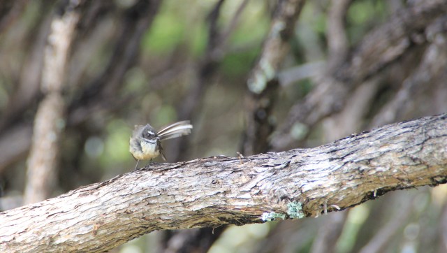
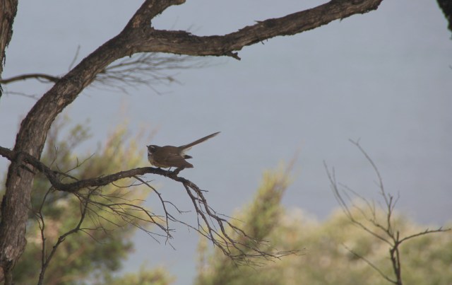
One of my favourite New Zealand birds has to be the Fantail, it’s a small songbird with a long tail that it uses to change direction quickly when hunting for insects.

IMG_9604

IMG_9609

It was a nice surprise to get a distant glimpse of an Eastern Rosalla, a colourful parakeet introduced from eastern Australia.

IMG_9619

And then a Sacred Kingfisher joined the Rosalla on the fence as we tried to get a closer view!

And all this in our first week in the very bountiful Bay of Islands, New Zealand.

Posted in New Zealand | Tagged , , , , | Leave a comment

A New Arrival in New Zealand

The beautiful coastline of North Island, New Zealand, came into view at first light on day ten of our passage from Tonga.  We had motor-sailed for the last two and a bit days in 4-8 knots of wind making good time with our sails boosting our motoring speed by over a knot. It was blissfully hot on the western side of the high pressure system, now drawing warm air down from the tropics, and a flat calm sea made a welcome change from the previous days of awkward waves. We also finally caught a fish, having lost a lure and two other fish to something rather big over the last few days.

IMG_9315

IMG_9346

Land Ahoy at sunrise on day ten

It was surprising not to have seen many shore lights the previous night as we approached the coast, quite often the warm glow of light pollution extends out to sea for up to 50 miles from more populated islands. Certainly not from the northern part of New Zealand.

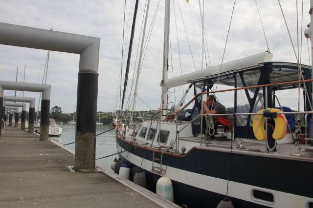
Entering the beautiful Bay of Islands on our way to Opua to clear in, we dropped our sails and passed by the small town of Russell. Our dear friends Ted and Barbara are here on holiday,  so we gave them a wave in case they were watching, and arrived at the quarantine dock just before 8am.

IMG_9354IMG_9356

IMG_9375

In the Southern Hemisphere it’s not just weather systems and draining water that go the opposite way to the Northern Hemisphere.  It took over six hours to clear in, with officials frustratingly working from the back of the queue forwards!

IMG_9377

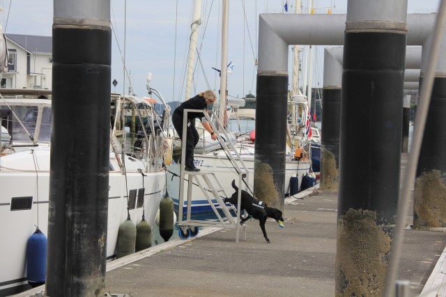
The customs dog, wearing booties, shows who’s boss!

IMG_9382

IMG_9395

A Pied Shag with a poorly foot

We are so looking forward to exploring, but first a good hose down for Joy, some extra sleep for her crew and a reunion with friends.

Posted in New Zealand | Tagged , | Leave a comment

Life on the Tilt – Day 7

It’s been an eventful week of sailing so far on our passage to New Zealand from Tonga.
Day two’s GFS GRIB file which gives us forecast wind direction, strength, surface pressure and rain, revealed an unfortunate change in the forecast. Our south east winds were soon to be south west winds for a 3 day period after a stronger than originally forecast trough passed over. This would mean beating into it in an attempt to make progress towards our goal, not our favourite sailing angle, as someone once said “Gentleman do not sail to windward”.
For the next day or so we made excellent progress just east of our rhumb line as the wind backed right around to the north west as the trough approached, and we watched the lightening display in the wall of clouds to our west. After clocking the wind settled in from the south west but light at first.
It was early morning and we decided in the light airs to take the reef out of the mainsail, but it wouldn’t budge. We could see from the deck that the car attached to the halyard and head of the sail was jammed just above the top spreader, but after some encouragement on the mandrel we managed to bring the sail down. Unfortunately it left two parts of the broken car in the track up the mast! There was only one solution so that we could get our main back up, and that was to hoist Jez up the mast to retrieve them. Not an easy task in a 2 metre swell mid ocean, swinging around up the mast isn’t a pleasant or comfortable experience but needs must. A few bruises later and slightly longer arms than when he started, success. Main hoisted again but without the car.

Shortly after getting the main back up, the wind picked up to 18 knots and we had to put that reef back in! But at least we had resolved the stuck sail which, as the next 24 hours panned out, was rather lucky. We tried tacking into the wind and waves which were now building even further, negative ‘velocity made good’ to our waypoint on port tack was depressing, sending us back up north towards Vanuatu. Starboard tack slightly better, 2 knots VMG but heading towards the Kermadec Islands way east of NZ. However this would have put us on the wrong side of the high making it a beat all the way and risking a large amount of time in the more dodgy area below 30° South. A few hours of trying different tactics and doing some calculations on arrival time if this continues for three days we decided we just couldn’t make the window. By this time the sea was running at 3-4 metres and the wind had built to 28 with gusts to 33 knots. We decided to run with it, not against it, and turned around.

It’s never easy making these decisions, and I think this is only the 2nd time in over 6 years that we have actually turned back due to not being able to make progress. We were quite surprised to find the wind backing to the South later in the day however, which made a slightly better angle if we headed west and tried to get further away from the squeeze zone that had developed between the trough that had passed and the following high pressure, so we changed plan again and set off on a port tack.

The next 24 hours were difficult, although we had a better sailing angle the wind didn’t let up and we were pounded by large waves across the bow making it quite uncomfortable. During the night the sheet attached to the reefed jib sail went bang and we quickly worked to furl the flapping frenzied sail away, replace the sheet and get it back out. Three hours later the second sheet exploded too, more frenzied flapping and our, by now, well rehearsed routine of furling and changing sheets continued in strong wind and water across the foredeck. Our main anchor, despite being secured to the capstan with a ratchet strap decided to work loose enough to bang with every wave, and required more deckwork in dire conditions to extra secure it to stop it crashing into the bow roller.

By morning we discovered that the flapping jib sail in the night had whipped a huge tear in the adjacent staysail, and two teak planks were missing from the dolphin seat on the bow, having been completely ripped off presumably by a smashing wave. In amongst these team building events were several other ‘incidents’ including the microwave oven door flying open and ejecting the glass turntable plate, smashing into smitherines on the galley floor as Jez prepared supper. Not to mention the smashed iPad screen when it shot across the cabin and down the stairs as I was lurched by a wave just as I was putting it back on its non slip mat.

We were pleased when, as expected, the GRIB files started to show light at the end of the tunnel, if we continued on our westerly course edging a little south of west as we went we would reach more favourable winds over the ridge of high pressure building beneath us. It was interesting to see that a gale force wind warning had now popped up on the surface charts on the back edge of the trough, and we know of another boat who were a little further south east of us before we turned around who actually hove-to to ride it out after damaging their mainsail.

Thankfully the next few days were not quite so eventful, the sea state has remained awkward but the winds have been mostly under 20 knots and south easterly so we have made progress to the south west.

Today the wind has backed further, now to the east at about 12 knots. We are almost at 30°S and still sailing towards our goal, Opua, at 5 knots, with a high pressure approaching Northland ready for our arrival in about 3 days time. We have covered nearly 900 nautical miles under sail with about 340 to go, although I think maybe soon it will be the turn of our iron sail as the wind drops.

I certainly agree that neither Gentlemen nor Gentleladies should sail to windward.

Posted in Uncategorized | 3 Comments

Ha’apai Days

The Ha’apai group of islands are almost central with Vava’u to the north and Tongatapu to the south. They comprise of 62 islands which include barrier reefs, coral shoals and even active volcanoes.  Most of the islands are low lying coral atolls with long stretches of beautiful sandy beaches, and surprisingly only 17 of these islands are inhabited with around 8,000 people.

The main administrative centre for the group is in the small village of Pangai on Lifuka island.  A friendly village with several small chinese supermarkets and a rather sparse fresh produce market compared with Vava’u.  It was a great shame that when we returned to our dinghy after exploring and shopping, someone had stolen our long floating line that we had tied to the dock with.  Considerate thief though, they had retied us using the wire left inside the dinghy that we would normally lock it up with.  This is the first time in our 6 year trip that we have had something stolen and quite unexpectedly in the sleepy and remote Ha’apai islands, hope it has gone to good use!

IMG_9075-squashed

The main island of Lifuka

IMG_9077

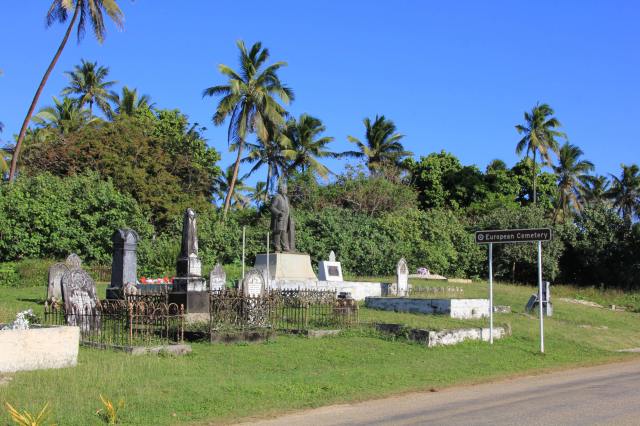
A monument to British born Rev Shirley Baker stands in the European Cemetry on Lifuka Island. He arrived in Tonga in 1860 as a Wesleyan missionary and King George Tupou I made him Prime Minister in 1880. Rev Baker then had a disagreement with the Wesleyan Church in Sydney and formed his own independent body called the ‘Free Church of Tonga’.  He was deported to Auckland in 1890 when it was discovered that ‘he was using his power to the disadvantage of those who were not members of his church’!  He later returned to the island in 1900 and died here 3 years later.


IMG_9079b

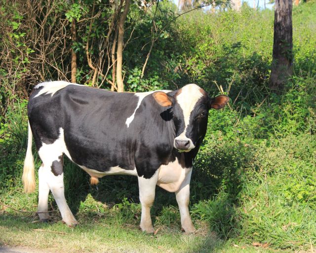
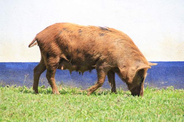
In addition to pigs rummaging along the verges, Lifuka has plenty of cattle too.

IMG_1620

We were surprised to find a solar powered Tuk Tuk in the village

IMG_1624

IMG_1625

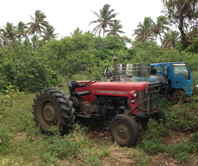
Jez pointed out that the blue tractor above,complete with car seat, is actually newer than this red one. They don’t build ’em like they used to.

IMG_1627

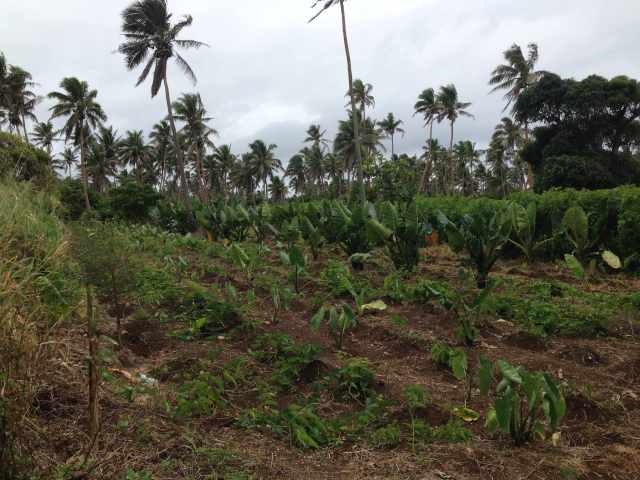
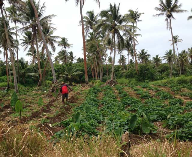
The productive island has numerous plantations

IMG_1629

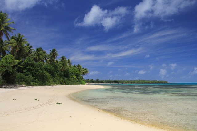
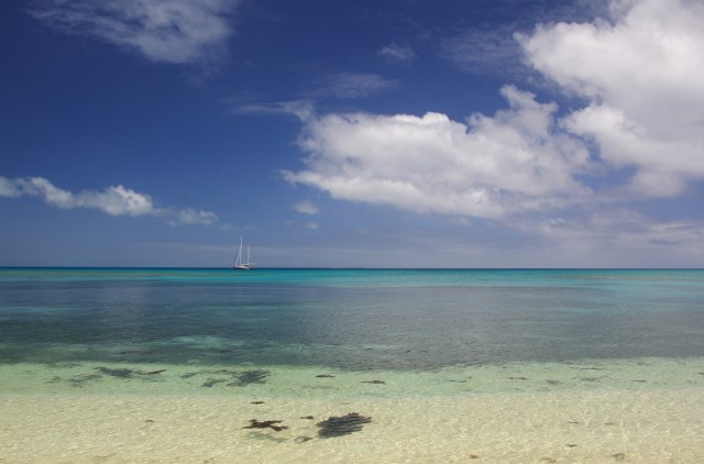
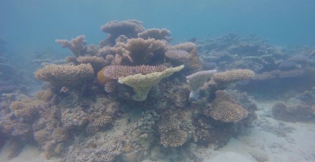
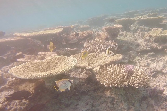
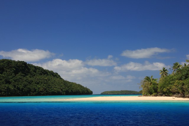
With so many islands and anchorages to visit we were really spoilt for choice and many we had all to ourselves. Miles of deserted sandy beaches to roam and islands to circumnavigate at low tide, and interesting snorkeling with some of the healthiest reefs we have seen in the South Pacific.

Here are a few of our favourite places.

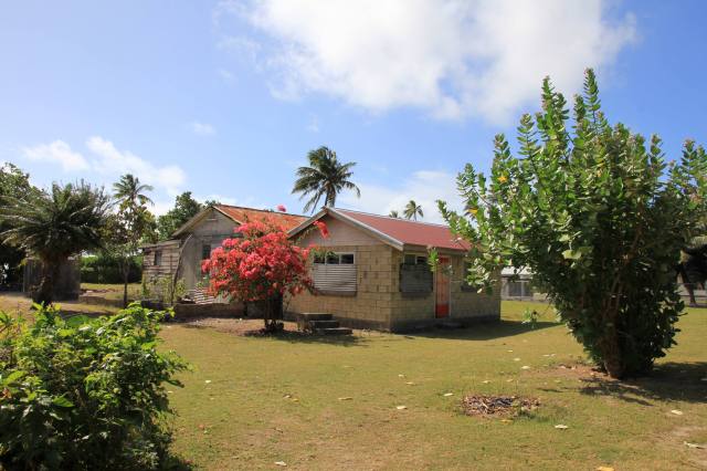
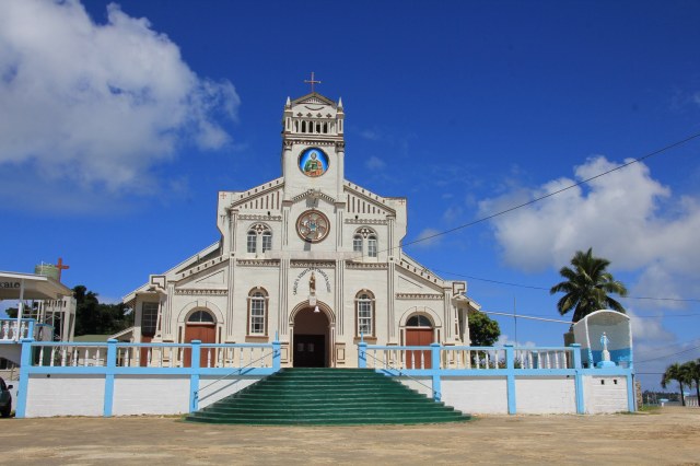
Uiha Island has a population of about 650 spread out across two villages on its west coast.  It was the first island we found to have extensive hurricane damage evident, at least two out of the four churches we found had bad damage and one had a concrete spire laying on the ground next to it.  We saw lots of concrete bases standing empty where a house once stood, and several small wooden one-room houses had been erected by the World Bank.  The most recent storm was Cyclone Gita which hit Tonga on 12th February 2018.

IMG_9086IMG_9090-squashed

IMG_9094

The main road on Uiha

IMG_9095

IMG_9100-squashed

IMG_9102-squashed

Extensive damage with spires missing. Both badly damaged churches were still in use despite their condition.

IMG_9105

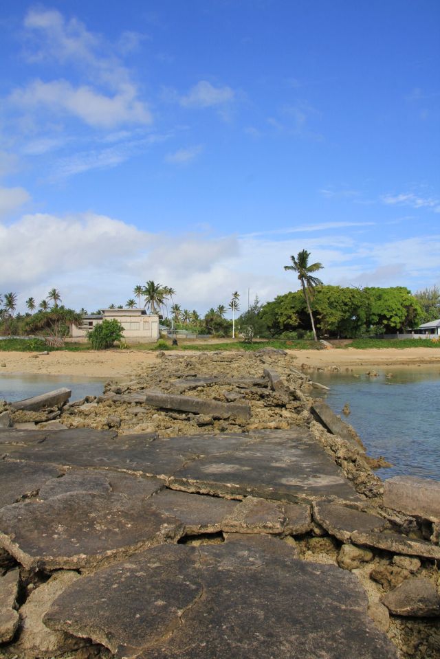
The most striking damage of all – the islands concrete wharf built over coral had been totally destroyed.

IMG_9109

Thick concrete slabs lifted and smashed in a hurricane

IMG_9107

Ha’ano Island is the northern-most of the barrier islands with less than 500 residents in three small villages. Shortly after returning to Joy after a day out exploring the island we had a strange event, short waves started to come over the reef and sweep through the anchorage. This was strange as the winds were light and the sea had been flat calm. The waves got larger and larger until they crashed right on to the beach smashing into the trees behind.  This carried on for twenty minutes before things gradually settled down. I knew instantly that there must have been an earthquake nearby, we discovered that 10 hours earlier an underwater earthquake measuring 5.3 had occurred 10km deep just east of Vava’u 60 miles to our north.

IMG_9154-squashed

IMG_9156

The main road on the island

IMG_9161IMG_9164-squashedIMG_9162-squashedIMG_9168-squashed

IMG_9174

IMG_9190

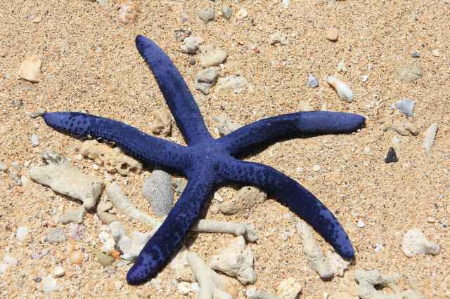
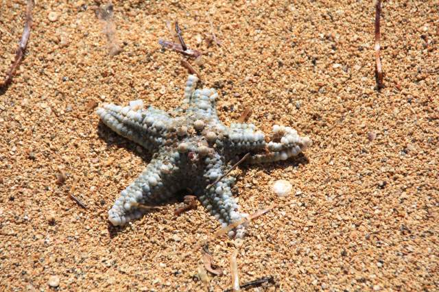
The mini ‘tsunami’ sadly swept dozens of starfish onto the beach

IMG_9193

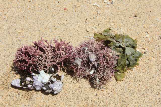
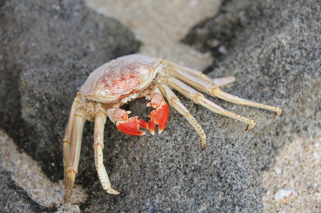
This hermit crab has a wonderful camouflage, his shell is attached to this entire jumble of weed and he drags it around as extra cover!

Tatafa Island is uninhabited and lies close to the northern tip of Uiha. At low water the island can be circumnavigated and is almost surrounded by coral reef.  The anchorage on its south side is very protected and we sat out two separate trough systems here when the wind turned to the north east.  The snorkeling is excellent with vibrant healthy reef and lots of tropical fish, we even spotted two lobster.

IMG_9208IMG_9210IMG_9214

IMG_9217-squashedIMG_9218IMG_9219IMG_9227-squashed

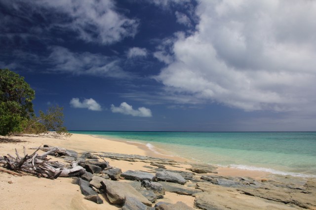
Uonukuhahaki is one of three uninhabited sandy islands grouped together just a few miles south of Uiha.  Beautiful unspoilt sandy beaches and some excellent snorkeling on the maze of coral heads in between our anchor spot and the beach.

IMG_9257-squashedIMG_9261-squashedIMG_9263IMG_9269

IMG_9277

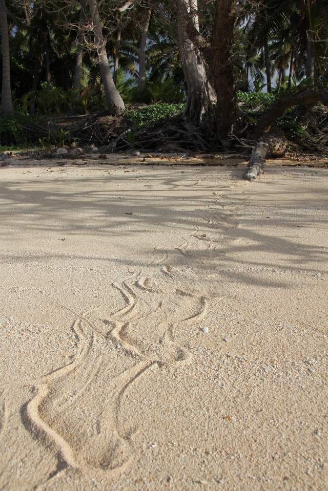
Not just our footprints in the sand

IMG_9285

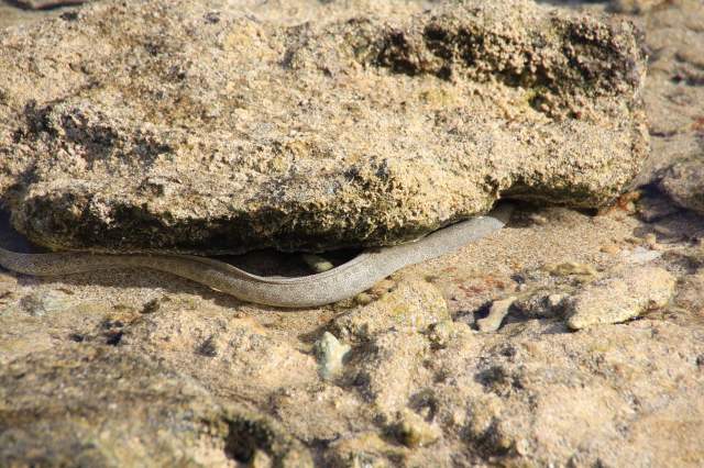
Sea snake tracks

IMG_9233

A family gathering of hermit crabs

We have used google earth on the Ovitalmap app to choose our anchorage spots, it’s been a great tool to locate a sandy patch with enough swinging room to avoid doing damage to the numerous coral heads.

IMG_0386

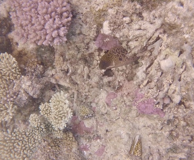
Google Earth image for the tiny island of Nukunamo shows up the dark patches of reef scattered around it.  The pass between this and Foa Island to the south had some fantastic healthy coral and an abundance of sea life including several moray eels.

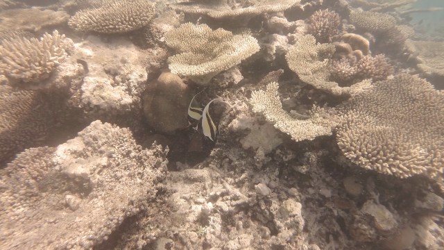
Our three blissful weeks in The Ha’apai Islands have, as you can probably gather, been all about sandy beaches and snorkeling.  There is little else to do here except absorb oneself in the natural beauty of the place, our past time has been treasure-hunting. Beach combing has added to our collection of unusual sea shells, and there always seems to be another unidentified fish or critter to wonder over when we snorkel. Wildlife on the surface though is rather thin on the ground as we have found in most of the South Pacific, but this hasn’t stopped us from adding this group to our top destinations since leaving England.

Ha'apai Snorkel1

Haapai Moray

As I was looking at this unusual shell a moray eel poked its head out of its hole to check me out

Haapai snorkeling2

Haapai snorkeling3

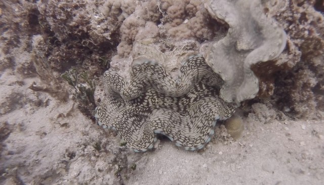
A beautiful clam

Haapai snorkeling4Haapai snorkeling5Haapai snorkeling9


Yet another trough hangs over the group bringing cloud and rain as we head off out into the ocean swell once more, bashing our way south to our last Tongan island, Tongatapu.  As we sail through the channel ‘Ava Pupu’, surrounded by breaking seas over the reef, I can’t help but chuckle at the name and hope that we can return to these special islands one day.


Posted in Tonga | Tagged , | Leave a comment

Exploring Vava’u, Tonga

The Vava’u group of islands in Tonga isn’t just a wonderful place to see whales, it is a fabulous cruising ground for us yachties. With so many possible anchorages with reefs and islands to hide behind, protection from just about any direction of wind can be found.  Miles of sandy beaches to stretch the legs and hunt for shells, clear water to swim and snorkel, what more could we possibly ask for. The outer reefs do a great job of breaking down the Pacific Ocean swell leaving just wind-chop inside the group when the wind piped up, which was actually quite frequent.

IMG_8954-squashed

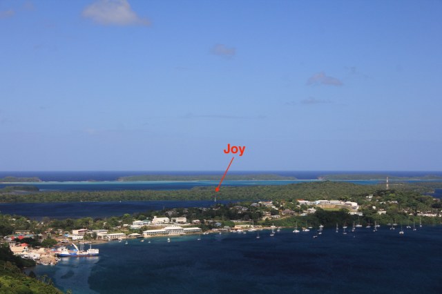
The entrance to the main harbour at Neiafu as seen from Mount Talau

IMG_8942-squashed

A view of the town with Joy anchored in the secluded Old Harbour, a huge empty bay to the east of Neiafu

IMG_8952-squashedIMG_8836-squashedIMG_8835-squashedIMG_8834-squashedIMG_8833-squashed

IMG_8827-squashed

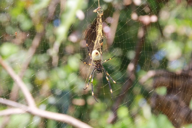
Going ‘off the beaten track’ requires a big stick and a watch out for these huge spiders

IMG_8807-squashed

One of many colourful Polynesian stories

IMG_8816-squashed

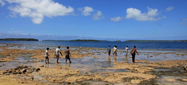
School children explore the reef at low tide during their lunch break

IMG_8813-squashed

IMG_8808-squashed

Tongan burial grounds often have large posters of the deceased at the grave and are decorated with plastic flowers and colourful quilts. I like the fact that they don’t use the words ‘Born’ and ‘Died’, instead calling them ‘Sunrise’ and ‘Sunset’.

IMG_8809-squashedIMG_8838-squashed

IMG_8840-squashed

Standard school uniform for the boys

IMG_8796-squashed

IMG_8797-squashed

Working his plot

IMG_8793-squashed

IMG_8956-squashed

 Dog-tired

IMG_8931-squashed

Tongan piglets are playful little creatures and bound about like excited puppies

IMG_8800-squashed

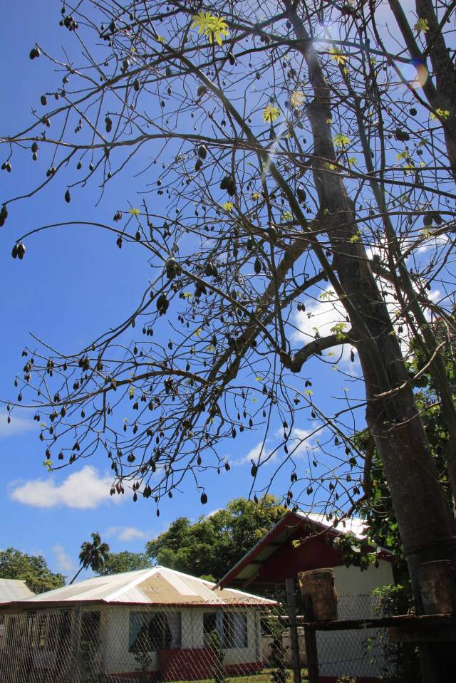
The Kapok tree is a member of the Ceiba family and produces a cotton-like material used to stuff upholstery and cushions

IMG_8806-squashed

A large  ‘cotton bud’ from the Kapok tree

IMG_8802-squashed

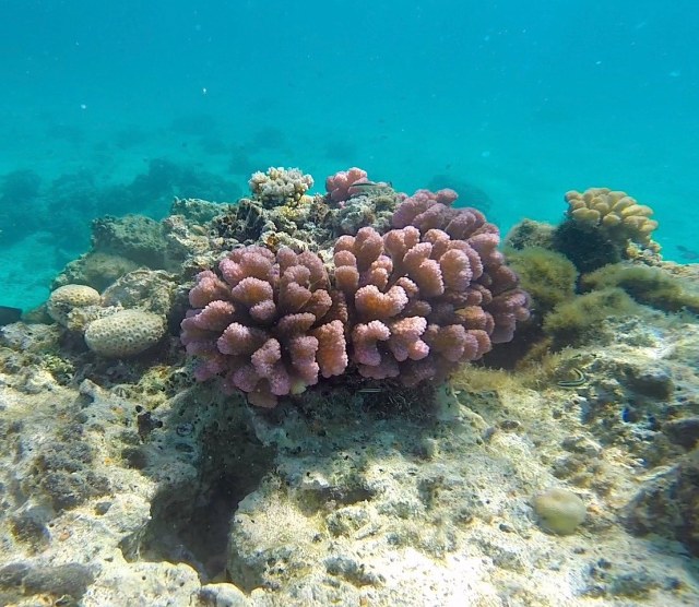
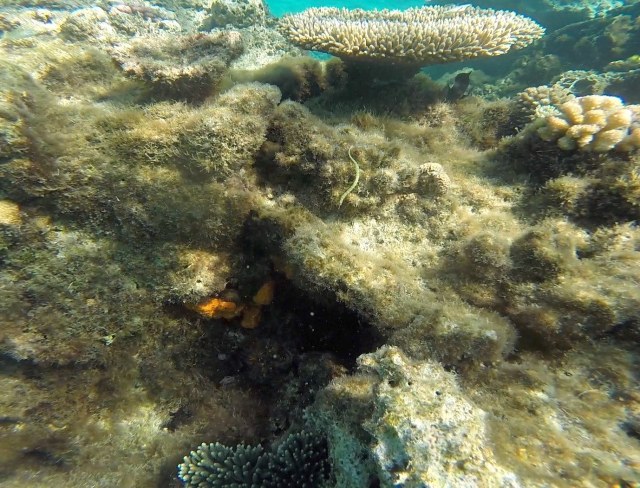
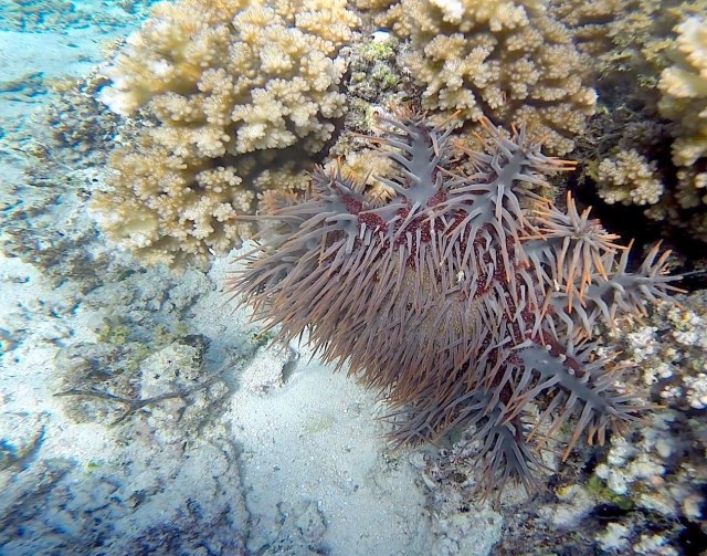
We found an interesting reef to snorkel off Mala island with dozens of starfish, hard and soft corals and plenty of colourful fish. We also spotted a few fascinating Crown of Thorns starfish which we have never seen before. Unlike an ordinary starfish it’s quite flexible and has multiple arms, up to 23 infact, and each arm is covered in thorn-like spines which are quite venomous.  It preys on hard corals, feeding on the polyps by extruding its stomach out through its mouth over the coral surface to about the same diameter as its body!  Digestive enzymes from the stomach are then excreted and the liquefied coral cells absorbed, leaving behind a bleached white coral skeleton. Apparently a single Crown of Thorns starfish can consume up to 6 square meters of living coral reef per year, so they can pose a threat to a healthy reef when found in large numbers.

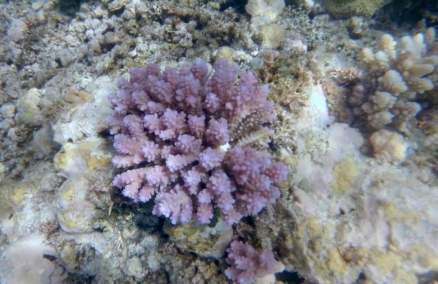
Pink coral-squashed

Pipefish on coral-squashed

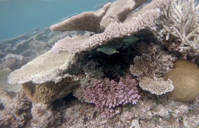
Spot the small pipe fish below the top coral, they are members of the same family as the seahorse but have a straight body with a small fan at the end of the tail.

Pipefish

The pipefish playing hide’n’seek

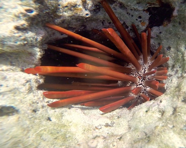
Red Slate Pencil Urchin-squashed

The beautiful Red Slate Pencil Urchin

Blue starfish-squashed

Crab in shell-squashed

There’s a creature hiding under that shell!

Crown of Thornes3-squashed

Crown of Thorns starfish

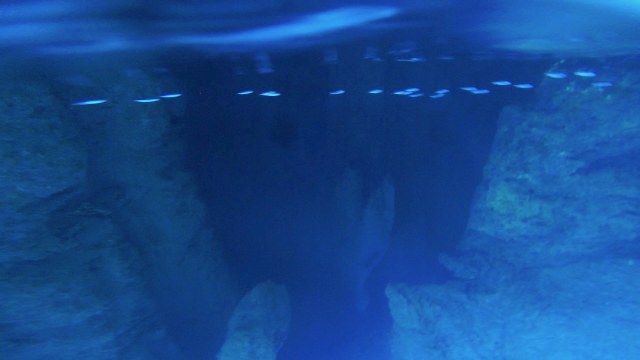
Swallows Cave-squashed

Entrance to Swallows Cave

Swallows Cave Fish & Light2-squashed

Swallows Cave surface-squashed

Inside Swallows Cave – this is not a reflection in the water, the water is so clear the underwater world is clearly visible

Swallows Cave underwater-squashed

We particularly enjoyed the eastern islands which seemed far less popular, perhaps as to get there a yacht has to cross an awkward area of reef.  With the assistance of Google Earth (via a great app called Ovitalmap, which downloads Google Earth maps and stores them in a cache for viewing offline) we were able to define the best route to take across the reef.  I kept a lookout for coral heads at the bow as we zig-zagged our way across the reef without seeing less than 6 metres of water under the boat.  The reward was some beautiful anchorages and a network of small islands, some inhabited with a single village where the residents are certainly less use to seeing tourists. As we wandered through the narrow car-less streets of Oloua island to the beach, followed by a very friendly local lady who seemed to be keeping a close eye on us,  a small child pointed at us and said “Palangi, Palangi” which means foreigner!

IMG_8601-squashedIMG_8606-squashed

IMG_8897-squashed

A noddy pays us a visit

IMG_8907-squashed

Some wonderful sailing between the islands

IMG_8915-squashedIMG_8928-squashedIMG_8966-squashedIMG_8967-squashedIMG_8970-squashedIMG_8979-squashedIMG_8980-squashedIMG_8988-squashed

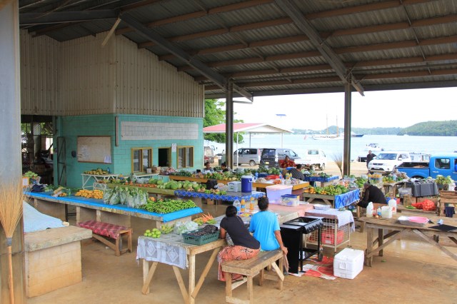
Back on the main island at the town of Neiafu, we could stock up at the wonderful local fresh produce market where the lovely ladies often put extra ‘gifts’ of produce in our bags.

IMG_8837-squashed

The daily market at Neiafu

After the simple process of renewing our visas for another 30 days it was time to move on, with the wind briefly shifting from a strong southeasterly to a much kinder 10-15 knot easterly over night this would give us a better sailing angle to the next Tongan islands, the Ha’apai group just 65 miles south.


Posted in Tonga | Tagged , , , , | 1 Comment

Treasured moments with Tongan Humpbacks – The Video!

There’s nothing quite like video footage to animate an event where photos cannot completely portray the whole experience. Such as the articulation of the fins, the rotating joint tilts the fin almost like tabs on an aircraft wing, they also flex like a birds wing to gracefully add to their manoeuvrability at the surface.  To show the female’s interest in us humans, every time they surfaced she headed towards us.  As visitors to their world we are given rules, like no touching. These gentle giants have no reciprocal rules, they want to try and touch us. Humpbacks are clearly as curious about us as we are about them.  Then there are the sounds, the grunts and snorts that to me sound similar to an elephant, the male’s noisy, sharp intake of breath on one occasion makes me smile,  and of course there is the unbeatable haunting call as they dive. You will also hear our tour guide whooping for joy during the footage, he was clearly as excited with this encounter as we were.

We know that there are mixed feelings with regards to whether or not whale-watching or getting in the water to observe these whales is the ‘right thing to do’. Are we affecting their behaviour in any way and are we an unwelcome presence? The conclusion that we came to based on our encounter and what we observed suggests otherwise.  The first pair of whales we spotted that day weren’t particularly interested in us, and after a few breaches and some surfacing they quickly disappeared into the deep blue ocean.  When we arrived in the vicinity of this courting pair, it was clear that they wanted attention by heading straight for the boat as if happy to have a play thing, something to show off their acrobatic skills to. This is similar behaviour to the dolphins we have encountered, not only do they race to the bow to ride the wave but also they come along side the cockpit and leap out of the water as if to say “we’re here, come and watch us”.

So we are happy and comfortable that not only did we not invade their space, but for a few minutes we actually shared it with them and provided some sort of entertainment. Afterall, they have the ability to out-wit and out-manoeuvre us, when they want solitude they make it clear and disappear, when its play time they seek our attention.  It’s humbling to think that they may have forgiven the human race for once bringing them to the brink of extinction,  and are now seemingly comfortable in our presence.

And finally, apologies for the annoying dot on the screen, after six years of diving and snorkeling use our GoPro has succumbed to a tiny bubble of moisture inside the sealed lens!


Posted in Tonga | Tagged , , , | 2 Comments